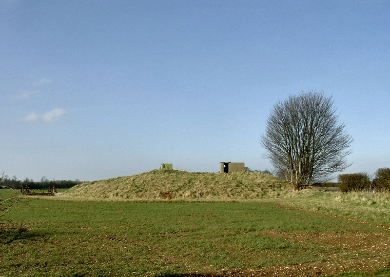
Round Barrow at TF214841 looking north.
There are several
barrows that stand on either side of 'High Street' - an ancient trackway
that runs along the western part of the Lincolnshire Wolds.
The most well know is Burgh on Bain Longbarrow but there are several Bronze Age round barrows that have managed to survive in this heavily farmed area. The barrow pictured above at TF214841 which measures 3 metres high with a circumference of 20 metres has been put to an alternate use during this century, in the late 1950's it served as a Royal Observer Corps early warning post and the building of this post may have increased the height of the barrow somewhat. The post closed in 1991 but a concrete bunker and cold-war paraphernalia still remain to be seen.
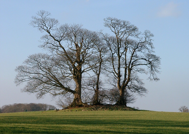
The barrow pictured below at TF214846 measures about 14 metres in diameter and stands just over a metre in height while one just to the south at TF215845 is 22 metres in diameter but is lower at under a metre in height - it is also rapidly vanishing beneath heavy undergrowth.

Round Barrow at TF214846 looking northwest