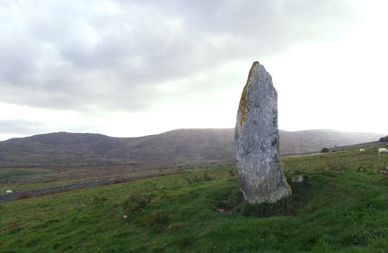
 Standing stone at Cae Coch. Looking across the Tafolog valley towards Pen-y-Gaer and Penygadair. |
|
Just to the
north of a track that once formed a Roman military road between Caerhun
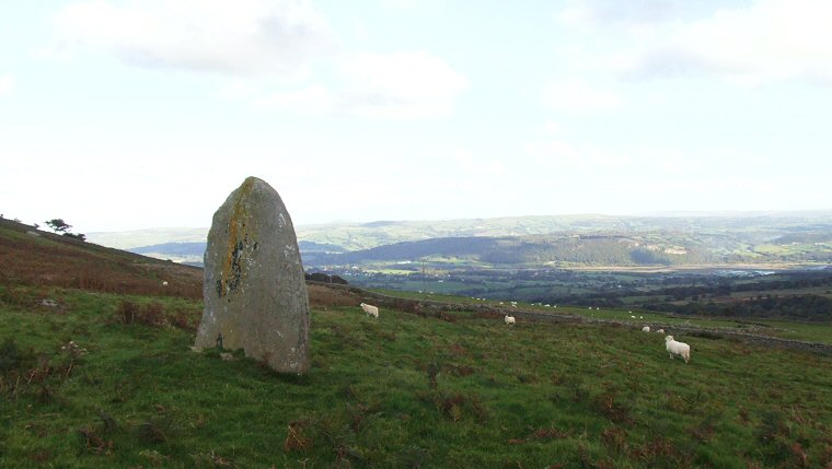
and Caernarfon the 1.5 metre tall standing stone of Cae Coch looks out
on spectacular views south across the Afon Tafolog and eastwards towards
the Conwy valley. The stone is quite broad with its long axis aligned roughly east-west and is set into a low mound as can be seen in the photograph above - the Ordnance Survey map shows it as forming part of what could be an enclosure although what this might be is not clear at the site. Cae Coch is one of several prehistoric monuments that follow a line along the southern slopes of the hill of Tal-y-Fan that includes the standing stones at Bwlch y Ddeufaen in the west and the burial chambers of Maen y Bardd and Rhiw to the east as well as settlement sites, cairns and the later Roman road that utilised the same route. Probable Date: Bronze Age |
 Looking east towards the River Conwy |