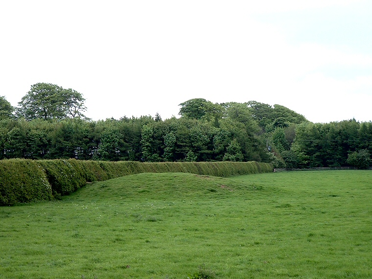
Round Barrow of the Callis Wold Group at SE828562.
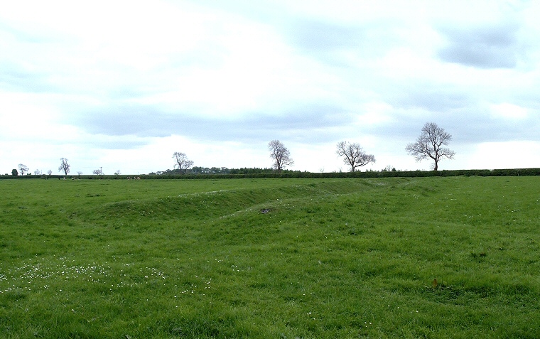
This group is rather scattered and some of the barrows are in poor condition, others are completely destroyed. To take a tour round the remaining mounds, follow the road from Pocklington to Millington then continue until it splits into two (both roads join the A166 a mile or so further on). This triangle of land contains three remaining barrows of an the original eighteen in the group. Two of these are badly ploughed down, but the northern one at SE828562 (shown above) is well preserved as is the nearby section late Bronze Age earthwork (image below). Continuing on to the A166 and turning left, there are several further barrows on the right-hand side of the road which form part of the Garrowby barrow group.

Northern end of a section of earthwork running northeast to southwest at Callis Wold.

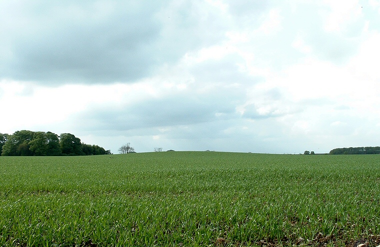
Barrow in an arable field at SE835559