 Carl Wark looking south from Higger Tor. The western wall can be seen just above the path to the right. |
|
The site of Carl
Wark lies just within the Yorkshire side of the border with Derbyshire
in the middle of the impressive Hathersage Moor. To the north is the
rocky outcrop of Higger Tor with its collapsing blocks of stone sliding
down the hillside, to the east is a slope down to a valley bottom and
then the edge of Burbage Rocks while to the southwest is Millstone Edge
and a natural balancing rock tor. The site of the suggested Iron Age hillfort itself is a gritstone outcrop that runs approximately southeast to northwest, the north-western end forming a fairly gentle slope leading up to flattish platform that is surrounded on the other three side by fairly steep rock drops. This north-western end has the remains of a 40 metres drystone revetment wall running across it that still survives to about 3 metres in height and about 8 metres wide at its base tapering to 3 metres along its top edge, the wall is supported by an earth and rubble bank piled against it on the inner side of the enclosed area. Just to the south of the wall a steep climb leads up to a single interned entrance measuring about 7 metres in length. The inner area of the fort covered about 2 acres (just under 1 hectare) with much of the interior covered with large boulders and it is hard to see why the people who went to the effort and trouble to build walls and an entrance would leave these boulders cluttering the living space, if indeed this site was ever inhabited as no trace of hut circles or other dwelling structures have been recorded at the site. An intriguing sight-line exists between Carl Wark and the hillfort of Mam Tor about 10 miles to the west. Interestingly Mam Tor cannot be seen from the south of Carl Wark until one has walked though the entrance and up onto the banks behind the walling when it suddenly appears dark and brooding in silhouette on the horizon. Although this site is thought to date from the Iron Age it sits in an area rich in Bronze Age remains including cairns, ring cairns and field systems and it could well be that use of Carl Wark started even earlier during the Neolithic. |
 The outer face of the western defensive wall. |
 Looking southeast across the interned entrance to Carl Wark . |
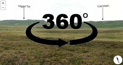 360 Degree Panorama |
Back to Map | Home | Full Glossary | Links | Email: chriscollyer@stone-circles.org.uk