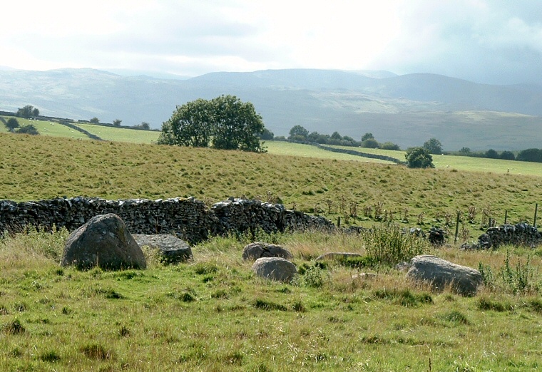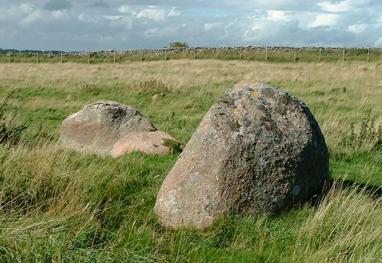
Castlehowe Scar is a
charming 5 metre diameter circle of boulders that could either be a
small stone
circle or the kerb remains of a ring
cairn that has been robbed of its smaller stones.
The eleven remaining granite stones vary in size and don't look to have been shaped by the circle builders to any great extent and it reminded me of the circles of Little Meg or the nearby Kemp Howe. It stands on land that slopes down gently westwards to the valley of the River Lowther and like Kemp Howe has some fantastic views west towards Bampton Common, Ralfland Forest and the Shap Fells.
The circle itself is enclosed by fences and walling and is also often the home to several sheep but parking is easy here on the east side of the road and the circle is clearly visible.
Date: Bronze Age
