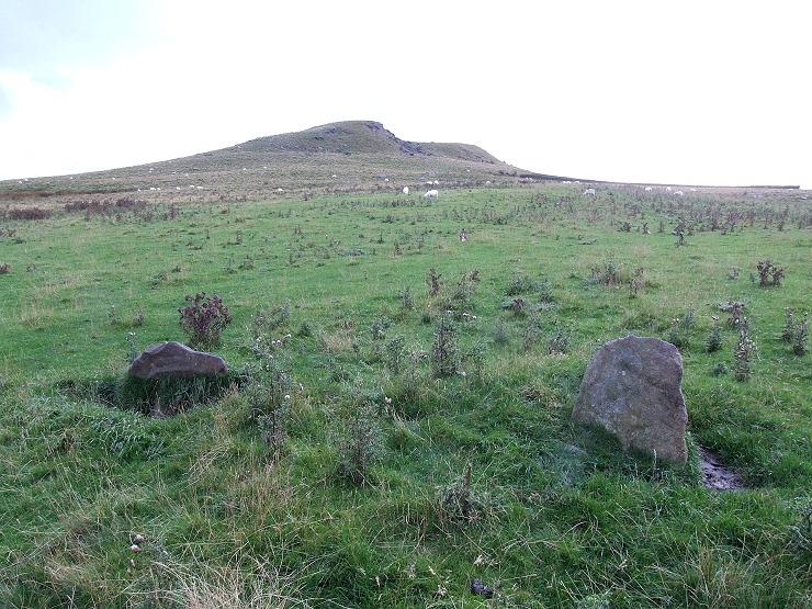
 Looking west over the two remaining standing stones towards one of the peaks of Crook Hill |
|
Crook Hill is a rock
outcrop that is located towards the southern end of a finger of
high ground that extends southeast from Rowlee Pasture and is now
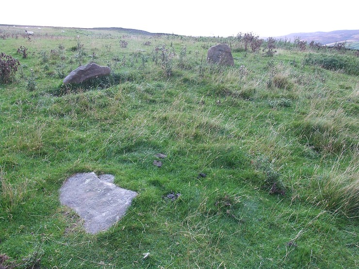
surrounded on three sides by Ladybower reservoir. On the eastern slope of the hill are the remains of either a small embanked stone circle or the kerb of a cairn. It consists of a rubble bank about 7 metres in diameter into which a pair of standing stones are set with a fallen stone close by, a couple more fallen and partly buried stones are visible on the opposite side of the bank. The confusion as what this site was comes from areas of buried rubble within the circle which could point to it having been a cairn with the circle of stones forming a kerb or revetment wall, I used to believe this but am now more convinced that it was indeed a small stone circle. Whichever it was the site was obviously carefully chosen, the photo above shows how the outcrop of Crook Hill dominates the view from the west round to the southwest and it could be the monument was built to 'venerate' the hill in some way. To the east there are fine views across the valley of what is now the northern section of Ladybower reservoir towards Derwent Edge and Ladybower Tor (see carved rock on Ladybower Tor) then onto towards Bamford Moor in the southeast. The views are impressive today and it is difficult not to conclude that this area was also important to its prehistoric population. Date: Bronze Age |
 The three most prominent stones of the circle. |