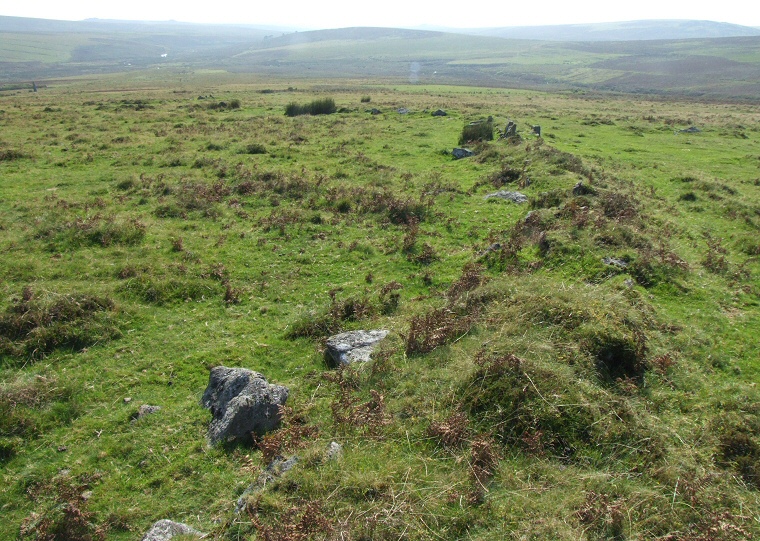
 View looking over an arc of the low earth and rubble bank of one of the enclosures. |
 Just
a short distance from the famous Drizzlecombe
multiple stone rows that cross the slopes of Ditsworthy Warren are
the often overlooked remains of a small settlement site and nearby funerary
remains including cairns
and cists. Just
a short distance from the famous Drizzlecombe
multiple stone rows that cross the slopes of Ditsworthy Warren are
the often overlooked remains of a small settlement site and nearby funerary
remains including cairns
and cists.
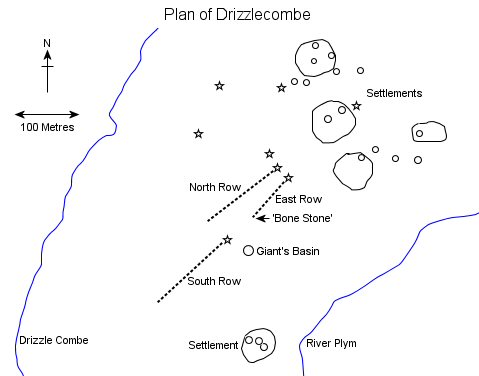
This settlement is divided into two areas, a small enclosure to the south of the rows and a group of four enclosures that stand on slightly higher ground beyond the north-eastern end of the rows. Each enclosure contains the remains of one or more huts while traces of several other huts lie scattered close to the north-eastern enclosures. The enclosures themselves consist of earth and rubble banks (picture at the top of the page) with the three largest forming low walls of about half a metre in height and measuring between 60-70 metres in diameter while the forth is much smaller at just 20 metres across its widest point. It could be that the walls were once much higher and designed to stop livestock straying from the huts with each enclosure belonging to a separate but related family group. The low rings of stone and rubble that formed the bases of the huts that occur both inside and outside the enclosures vary in size, some are just a metre and a half in diameter and may be interpreted and storage areas, perhaps for grain or meat, while others are larger being between 5-8 metres in diameter. It is to be assumed that these larger hut circles are the remains of the Bronze Age roundhouses that were the homes of the population of Drizzlecombe and while the wooden poles interwoven with withies that may have formed the walls and the earth or turf roofs have long since decayed and disappeared the images of reconstructed roundhouses on the Flag Fen page give some indication of what these structures may have looked like. The area to the west of the huts seems to have been reserved for burying the dead although the cairns here seem to be in such close proximity to the habitation area that the two functions of the moor may not be contemporary - perhaps the cairns were built after the huts had been abandoned and the landscape was given up to the dead. The cairns vary in size from 4 metres to 20 metres in diameter with the tallest being just over a metre in height and most show signs of being either partially excavated or more likely plundered by those looking for buried treasure at some point in the past. One of the cairns has the remains of a ring or kerb of stones but the most interesting is one that has been cleared of most of its rubble to reveal a fine slab-lined open cist, the capstone of which is propped up at the side of the chamber (picture second from bottom). Another well preserved cist but this time without its capstone is located about 200 metres to the north of the enclosure area on the western side of the hill above the stream that gives Drizzlecombe its name (picture at the bottom of the page). |
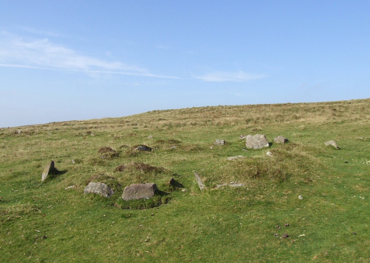 The stone and rubble remains of the base of one of the buildings, presumed to be a roundhouse. |
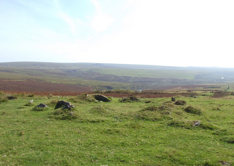 The remains of another building. |
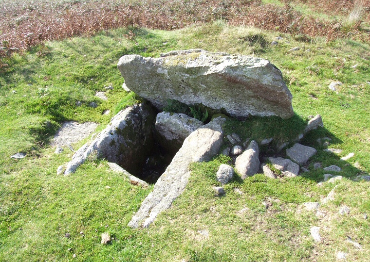 A fine cist close to the settlement showing its box like structure but with the capstone removed. |
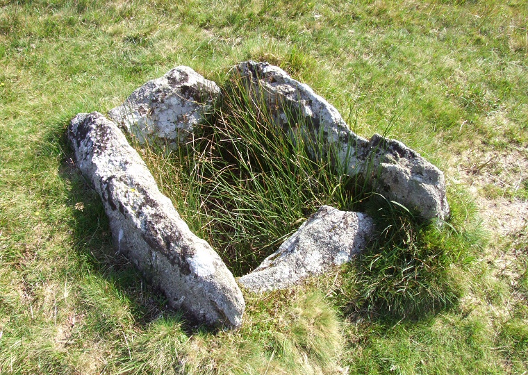 The remains of another cist that stands a little way to the north of the settlement. |
Back to Map | Home | Full Glossary | Links | Email: chriscollyer@stone-circles.org.uk