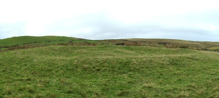
 View looking east over Green Low ring cairn. |
|
Green Low
is the site of a well preserved ring cairn dating to the Bronze Age.
Situated on the southern slopes of the hill as the land dips down towards
Bolehill Clough 60 metres away it consists of a stone and rubble bank
measuring between 2-3 metres wide and about half a metre high that encloses
an area of between 20-22 metres diameter internally. This bank is now
covered with a layer of grass but some sizeable rocks can still be seen
in several places.
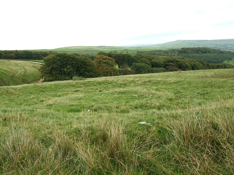
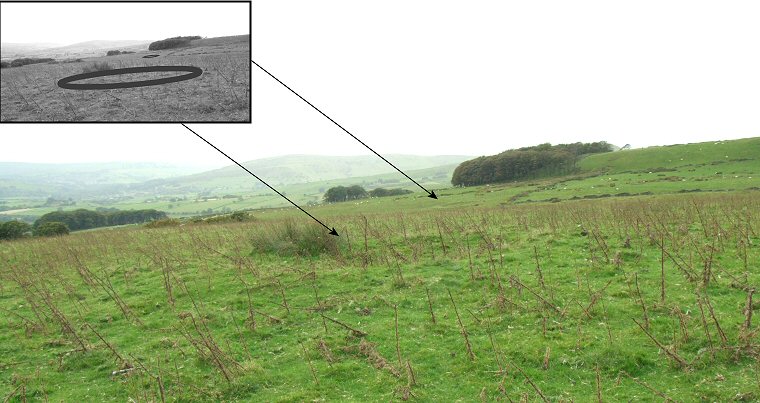
Within the central area is a low roughly circular 'platform' measuring about 6 metres across (see image below) which may be the remains of a slightly later barrow, this inner feature was excavated by W. J. Andrew in the early years of the 20th century and found to contain a collared urn and an incense cup. It's current flattened form may be a result of this excavation. The ring cairn has a neighbour that stands 250 metres away to the southeast on the other side of the stream, this ring however is much smaller and is difficult to spot being about 6 metres in diameter and only rising about 30 centimetres above the surrounding grassland (see image at the bottom of this page). It is perhaps significant that the larger ring can be clearly seen from this smaller circle and it is probable that the two monuments are contemporary and were linked to each other in the worldview of their prehistoric builders. |
 Looking southeast over the centre of the ring cairn with its raised 'platform' and towards Bolehill Clough. |
 The second ring cairn is at SK08648290 about 250 metres away to the east-southeast but this is both smaller and more indistinct. The inset image shows the extent of the low mound and also the position of the larger ring cairn on the opposite side of Bolehill Clough. |
 360 Degree Panorama |
Back to Map | Home | Full Glossary | Links | Email: chriscollyer@stone-circles.org.uk