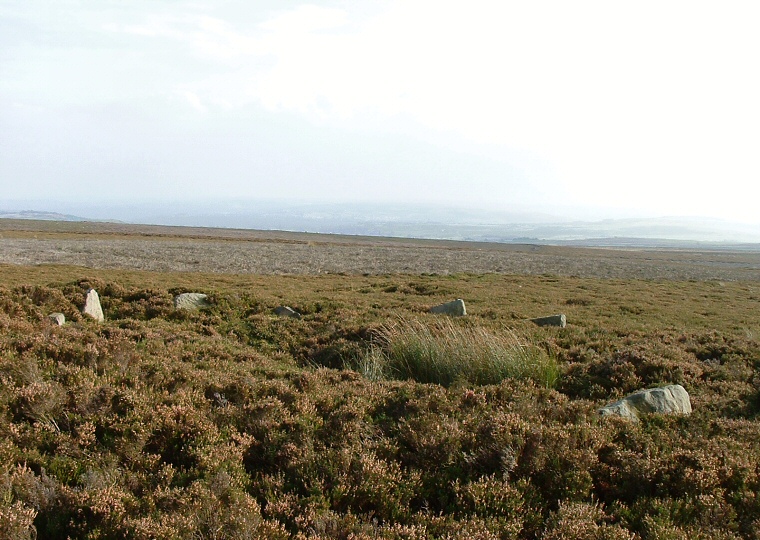
 View of the Grubstones circle looking roughly southeast. |
Known
as the Grubstones, this is one of several circular monuments on Ilkley
Moor/Rombalds Moor a place more famous for its rock
art. There seems to have been much speculation in the past as to exactly what
this monument was, it has been suggested that it forms the kerb of a ring
cairn or robbed round
cairn (although there is very little sign of stone/rubble infill in the centre)
while others have proposed that it was the foundation wall of a possible Iron
Age hut. English Heritage regard the site as the remains of a stone
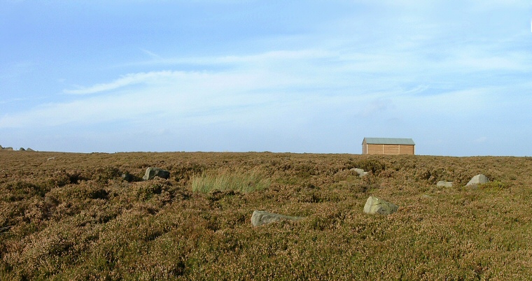
circle. Whatever it was, what remains now is around a dozen visible small stones about half a metre high, with others buried beneath the copious heather bringing the total number to around twenty stones, some have been lost at the south due to the building of a what looks like a grouse shooting butt. The key to finding the ring is 'head for the shed' - a large wooden building that can be seen for quite a distance on the moor. Leaving the Cow and Calf car-park travel in a southwards direction by whatever paths are available, after about half a mile the shed can be seen a further half a mile to the south. Once you get there continue into the heather for a short distance to the stones. See also Ilkley Moor & Rombalds Moor Introduction Date: Bronze Age |
 View looking north over the Grubstones towards the track that follows the ridge of Burley Moor. |