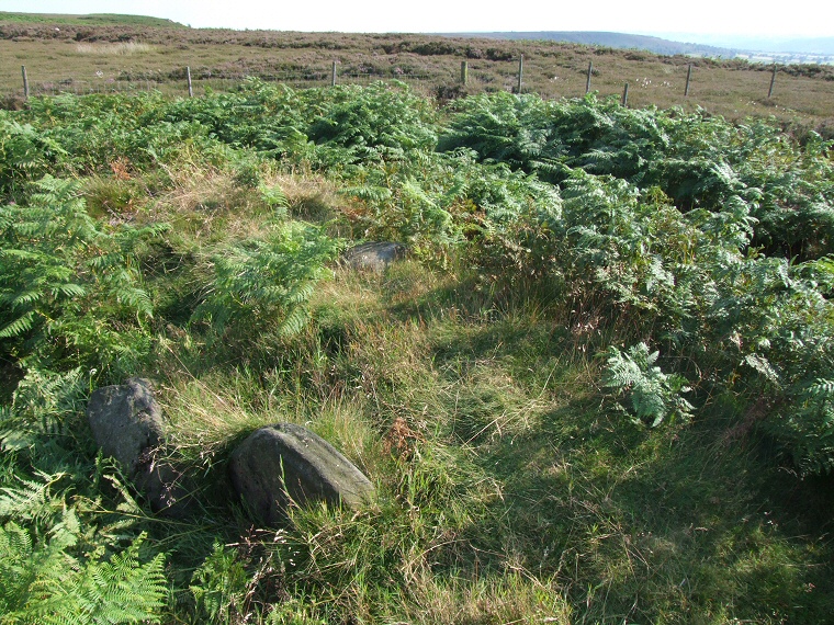
Hob Hurst's House is
a fascinating site but a visit here in summer can prove a disappointment due to
the thick covering of heather and bracken that blankets the little fenced enclosure
that the monument sits in and although the information board tries to
make things clearer the plan of the banks and ditches is a little over complicated
(I've modified it to hopefully make it simpler - below right).
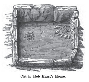
Excavated in 1853 by Thomas Bateman Hob Hurst's House consists of a central raised cairn with a stone kerb which measures about 8 metres square that now stands just less than a metre in height. Within this area is a rectangular slab lined cist comprising of thirteen stones standing edge to edge and measuring 3 metres by 2 metres. In the photograph above the view is of the cairn with a couple of slabs of the cist to the lower left. Bateman's diagram of this cist (below left) and his notes reveal he found a layer of charcoal which he took to be signs of a cremation within the cist as well as a group of burnt bones towards the north of the structure. In the south eastern corner of the cist was an arc of scorched stones that enclosed a further deposit of burnt bones as well as pieces of burnt lead ore. The cairn structure is surrounded by a 3 metre wide roughly square ditch and beyond that a bank standing about a metre high and measuring a further 3 metres in width although both bank and ditch have been damaged on the northern side by a later track.
This unusual Bronze Age site stands on Harland Edge, a northwest to southeast ridge of land that it the location of several cairns with Beeley Moor to the south and Gibbet Moor and Brampton East Moor to the north. Although Parkgate Circle stands just over half a mile to the southwest it seems to me this site is probably unrelated to the sites to the south and west and was more likely part of a territorial boundary or chain along Harland Edge and therefore part of the group of monuments on Gibbet Moor. The name Hob Hurst may relate to Hob being an old name for the Devil and while some old folk tales mention Hob as being a vengeful spirit of nature others tell of a friendly goblin of the same name who lived at the barrow.
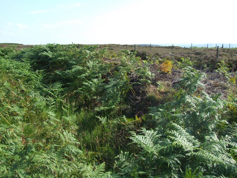
Left to right - cairn, ditch and bank.
The cist looking east
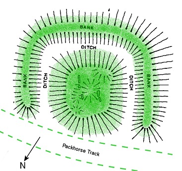
Plan of the modern layout of the site
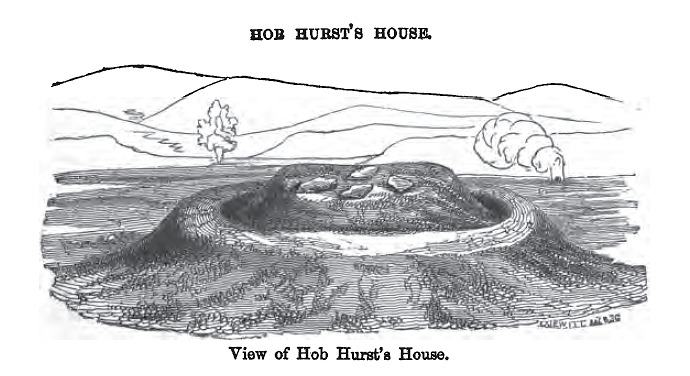
Thomas Bateman's drawing of the site from his 'Ten years diggings in Celtic and Saxon grave hills 1848-1858'