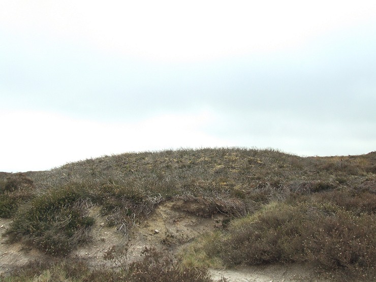
 Jugger Howe round barrow looking west. |
|
This round barrow stands near the high point on Jugger Howe Moor to the east of
the valley of Burn Howe Dale where a stream flows westward into the
larger Jugger Howe Beck.
Dating from the Bronze Age the mound of earth and stone measures about 20 metres in diameter and stands about a metre and a half high with traces of a stones kerb around its perimeter - it has an unusual flattened top which could be the result of leveling in the mid 20th century as the area was formerly used for military training. There are a pair of similarly named barrows (Jugger Howes) 400 metres to the northeast but these are less than half the size of Jugger Howe, does this imply the person or persons interred here where higher status, or that the barrows were constructed at different times, or is it simply the result of 20th century modifications to this barrow? |
Back to Map | Home | Full Glossary | Links | Email: chriscollyer@stone-circles.org.uk