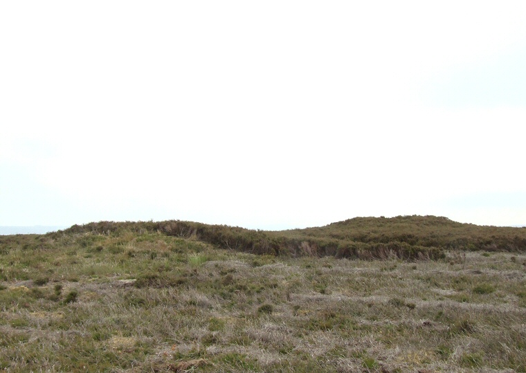
 Looking southwest over Jugger Howes round barrows. |
|
This pair
of round barrows stand on a high point at the northeastern
end of Jugger Howe Moor. They overlook the head of the valley of Burn
Howe Dale where a stream flows southwest into Jugger Howe Beck and both
measure between 7-8 metres in diameter and just over a metre high with
craters in their tops suggesting evidence of antiquarian investigation
or pillaging for grave goods.
There is another barrow also named Jugger Howe that stands about 400 metres to the southwest but this is much larger being 20 metres in diameter and a metre and a half high - is this difference in size between the two groups of barrows significant? Date: Bronze Age |
Back to Map | Home | Full Glossary | Links | Email: chriscollyer@stone-circles.org.uk