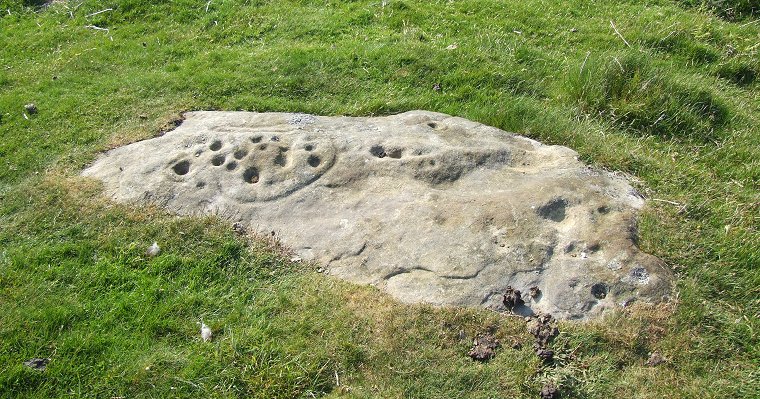
 The Lordenshaw 'Horseshoe' rock is located about 150 metres west-northwest of the main panel on the northwest slope of the hill and seems to form part of a low grass covered cairn. |
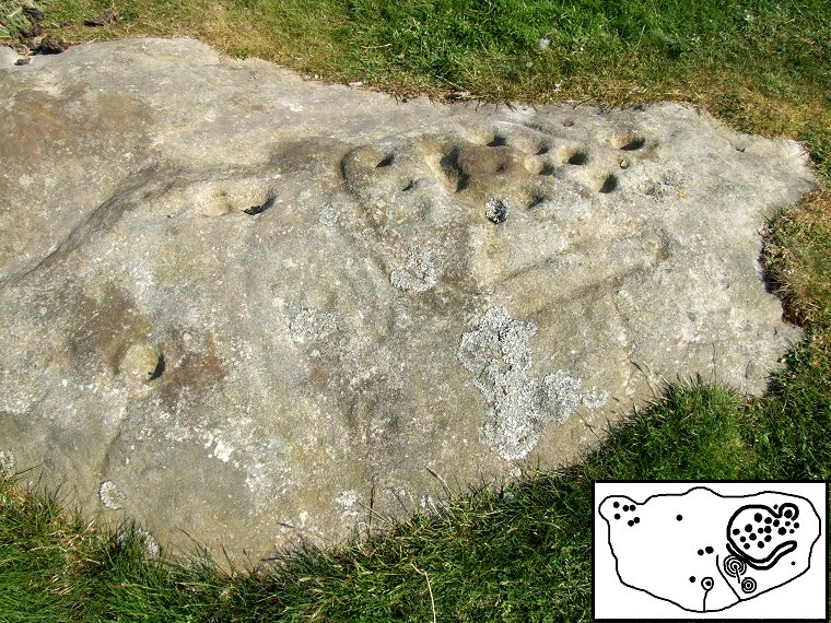
 Detail of the main carvings. The angle of the light means that a lot of the detail is lost but about a dozen cups are deep enough to be seen clearly towards the top right. The double section of the groove can also be seen beneath them while the cup with three rings plus a gutter and the cup with two rings can be faintly made out just to the left. Towards the lower left a deep cup is surrounded by a ring with a clear channel or gutter running down the side of the rock to disappear into the grass. |
 360 Degree Panorama |
| See also: Lordenshaw Area 3 & 4, Lordenshaw Main Panel. |
Back to Map | Home | Full Glossary | Links | Email: chriscollyer@stone-circles.org.uk