To the northwest of the High
Bridestones circles on the edge of Sleight's Moor before it drops sharply
down to the village of Grosmont is a ragged line of stones in a roughly north to south
alignment. Known as the Low Bridestones it is not clear what their original purpose
was, it is possible that they are not an alignment or row in the usual sense such
as at sites like the Devil's Arrows
but they may in fact form part of a prehistoric field system.
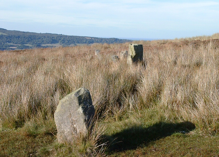
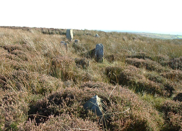
The photograph above is the view looking north with five of the stones visible, the image below is looking south, here about six of the stones can be picked. Due to the thick cover of heather and grasses it is difficult to make out how many stones are involved or how long the line is, a rough estimate might be between twelve and fifteen stones covering a distance of twenty to thirty metres, sometimes the layout of the stones suggest that they may have formed a double row. None of the stones are particularly large with the tallest only being about one metre tall and it is possible that many stones are now missing making an accurate determination of the purpose of the site even more difficult.
Probable Date : Bronze Age

View to the south with about six stones visible.