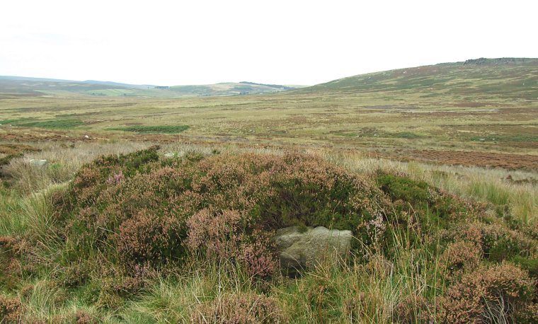
 Looking north over the cairn on Moscar Moor. One of the kerb stones is visible in the centre. |
| This is an unusual cairn
in an unusual location. It consists of an oval earth and rubble structure
about a metre high and between 6 - 8 metres across with five large
boulders or slabs set into its outer edge. One of these slabs is leaning
out at a distinct angle while a couple of others are partly covered
with heather as can be seen in the image above and the arrangement
and scale of the kerb of stones here reminded me strongly of the similar
sized stone
circle about a mile further south on Bamford
Moor.
Like this stone circle the cairn is also sited on the lower eastern slopes of Bamford Moor within the shadow of Stanage Edge but it also stands close to the southern end of the deep gully of Jarvis Clough and with no other obvious prehistoric remains nearby it is difficult to put it into any kind of context in relation to the rest of the monuments of the moor. Is it possible that its isolated position at the head of a valley meant that it was built as a territorial boundary marker to those traveling onto the moor from the north? Suggested Date - Bronze Age |
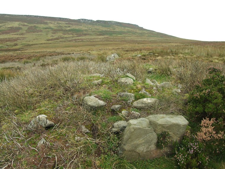
 Looking southeast with Stanage Edge in the background. Two of the kerb stones can be seen, the large slab at the lower right and the top of another stone two thirds of the way up the picture in the centre of the shot. This helps to give an idea of the scale of the cairn which otherwise tends to blend in with the surrounding grass and heather. |