Tathwell
Neolithic Long Barrow
Southwest of Tathwell, Lincolnshire OS Map Ref TF29458225
OS Maps - Landranger 122 (Skegness & Horncastle), Explorer 282 (Lincolnshire
Wolds North)
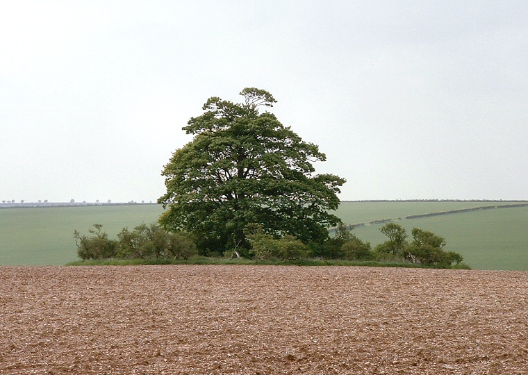
 Tathwell long barrow looking
roughly northwest.
 |
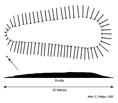
This is a 32 metres
long by 16 metres wide long
barrow that stands on the north facing slope of a valley that overlooks
the head of a tributary of the River Lud. It is badly overgrown and damaged
by the activity of rabbits but still survives to a height of between 1.6
to 2 metres at its southern end, although it decreases in size to less than
half a metre to the north.
The orientation of this trapezoid mound is southeast
to northwest and it traverses the hillside contours at a height of roughly
110 metres above sea-level about half way between the villages of Stenigot
and Tathwell. Visible from the A153 at the sharp bend in the road close
to the Cadwell Park racetrack, its location on private farmland in the middle of a field makes
viewing the barrow difficult if the field is under crop.
Date: Neolithic
See also: Lincolnshire Long Barrows Introduction and site list. |
 Plan and profile of Tathwell barrow based on Phillips 1932
 |
Back to Map | Home
| Full Glossary | Links | Email: chriscollyer@stone-circles.org.uk


