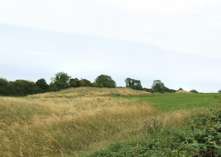
Thickthorn Down long barrows looking southeast from the terminal of the Dorset Cursus (which can be seen as the raised area of lighter cloured grass on the left edge of the picture). Both long barrows are visible in this image, the one in the foreground at ST97031238 is aligned southeast-northwest, measures 44 metres by 18 metres and stands about 2 metres high. The second barrow appears as the light coloured conical mound to the right of the picture and stands about 180 metres away to the southeast (see below).

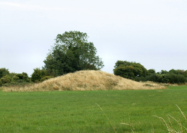
Long barrow at ST97191225 with a later round barrow visible just behind and to the right. This long barrow is shorter than the one above, measuring just 30 metres in length but it shares a similar width of 18 metres and stands to about the same 2 metres height and is also aligned southeast-northwest.