Weary
Hill Stone
Cup and Ring Marked Rock (PRAWR 244)
Ilkley Moor, West Yorkshire OS Map Ref SE106466
OS Maps - Landranger 104 (Leeds & Bradford), Explorer 297 (Lower Wharfedale
& Washburn Valley)
|
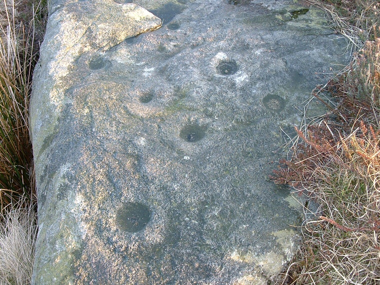
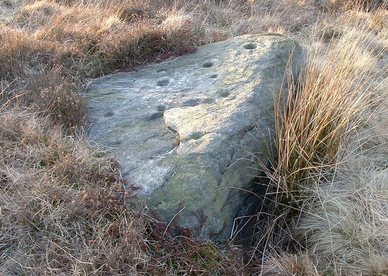
This medium sized triangular chunk
of rock sits low to the ground and partly overgrown although it is fairly easy to
find if you know where you are looking. It is quite badly worn but about a dozen
cups are still clearly visible, four of them have rings, two of these having grooves
running from the rings.
One word of warning about this northern end of Ilkley Moor - don't be fooled by
the map into thinking that Keighley road is in fact a road. At the turn for Silver
Well Cottage it is blocked to traffic and after that it soon deteriorates into
a gravel track suitable only for four wheel drive vehicles.
PRAWR = Prehistoric Rock Art of the
West Riding (Boughey and Vickerman 2003)
See also Ilkley Moor & Rombalds Moor Introduction
Date: Bronze Age |
 Detail of the cup and ring carvings on the stone.
 |
Back to Map | Home | Full Glossary | Links | Email: chriscollyer@stone-circles.org.uk


