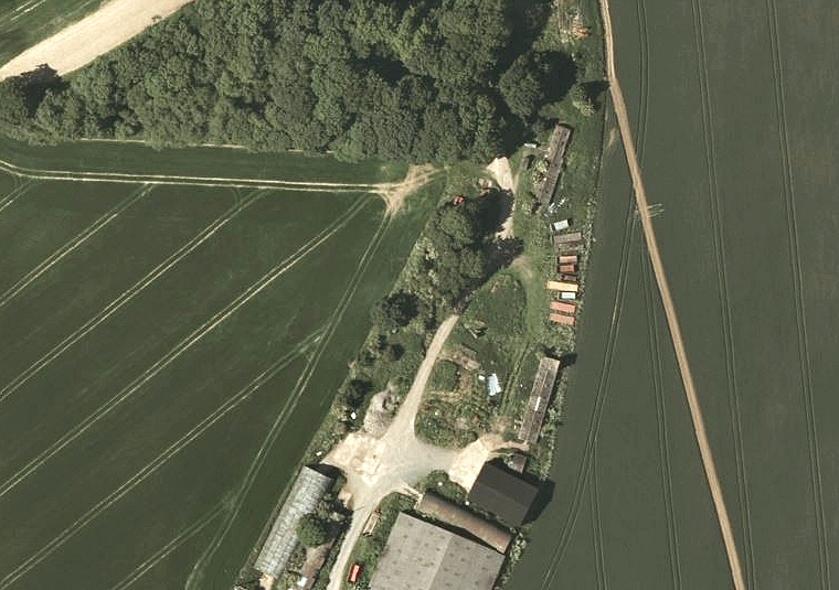
Bing satellite view of the site of Ash Hill long barrow now located in a small industrial estate.
Overlooking
the same Waithe Beck valley as Hoe
Hill long barrow, this roughly trapezoid Long
Barrow is orientated north-northeast
by south-southwest and stands at a height of 80 metres above sea level.
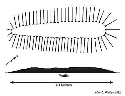
Its 39 metre length runs parallel with the hillside contours, the northern
end reaching a height of around 2 metres with a width of 16 metres, tailing
off to a narrower 10 metres to the south. Enclosing it was a ditch structure
that is now filled in but was found by excavation to be some 2.5 metres
deep.
The barrow stands on private land within the Swinhope estate next to, and probably damaged by, some industrial buildings and is not accessible to the public. The satellite image above shows the location of the barrow somewhere beneath the trees in the centre of the picture.
It is interesting to note that during building demolition work a later Viking age burial was found in the northwest corner of the mound.
Date: Neolithic
See also: Lincolnshire Long Barrows Introduction and site list.

Plan and profile of Ash Hill barrow based on Phillips 1932