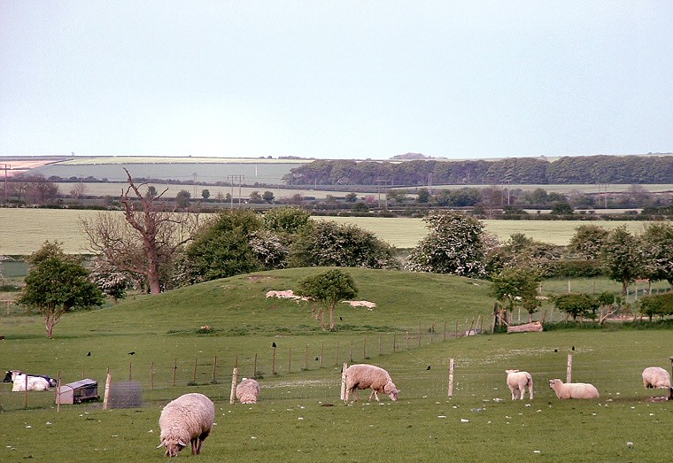
The Neolithic barrow at Wold Newton seen looking northeast.
Close to a bend in the road
at the village of Wold Newton, and south of the intermittent or 'winterbourne'
Gypsey Race stream stands a large but often overlooked Neolithic
round barrow. The mound that can be seen today measures about 40 metres
in diameter and just under 3 metres in height and is partly a reconstruction
carried out after it was excavated in 1894 by JR Mortimer. It was discovered
that the monument started out as a large wooden structure that had several
bodies along with broken pottery and flints
laid out on top. These bodies would possibly have been left to rot and
decompose for some time before being covered with an earthen mound that
was capped with a layer of chalk and rubble.
In the past few years aerial photographs have shown that the mound is
surrounded by a causewayed ditch whose northern edge follows the course
of the Gypsey Race. This leads to the interesting speculation (on my part
anyway) that water could have flowed around the monument to form a kind
of moat at times of high flow, but whether or not this ever occurred we
must see the barrow as part of a wider picture that also encompassed the
massive mounds at Duggleby Howe and Willie
Howe that also stand close to the Gypsey Race.