
Willie Howe barrow looking southeast, the crater in the top is the result of antiquarian excavations.
Willie Howe (or Willy Howe),
is a massive Neolithic
round
mound or barrow that stands on the northern edge of a small low spur
of land that juts out into the Great Wolds Valley just 200 metres from
the Gypsey Race, an intermittent or 'winterbourne' stream that threads
its way eastwards through the valley before reaching the sea at Bridlington.
It is the largest barrow on the Yorkshire Wolds and the scale of the earthwork cannot be appreciated until one walks around and climbs the steep sides of the mound. English Heritage record its height as 15 metres although I would estimate that it is a couple of metres less than this, they go on to give its diameter as 50 metres from north to south and 40 metres east to west.
Such a prominent monument in an otherwise gently rolling landscape has made it the target of curiosity in the past and it has been dug into many times often by people looking for the buried treasure that legend always seems to put under these mounds. Antiquarian investigations by Lord Londesborough in 1857 failed to discover any remains or artifacts but the barrow was subject to a more thorough excavation by Canon Greenwell in 1887. He discovered a central rock cut pit or cist, some 1.3 metres long, about 1 metre wide and 3.7 metres deep. This was filled with alternate layers of chalk and earth along with flint chips and some animal bones although he also failed to find any human remains and while he had encountered empty barrows before, Willie Howe seems to have left the usually pragmatic Greenwell mystified. He remarked:
'Throughout the whole course of my barrow explorations I have never met with anything that I can compare with this mound. It was of more than ordinary size and constructed at the expense of much labour ... Until I opened Willie Howe I had always disbelieved in the erection of such memorials as cenotaphs at the time when these barrows were constructed. That supposition appears, however, to be countenanced by the experience of this mound, and I am forced to admit the possibility that this very large mass of chalk stones was thrown up merely to commemorate, and not to contain the body of, some great personage' (from 'Recent Research in Barrows in Yorkshire, Wiltshire, Berkshire etc' - Rev. William Greenwell 1890).
This pit discovered by Greenwell as well as the method of construction and size of Willie Howe would suggest a parallel with Duggleby Howe which stands close to the source of the Gypsey Race just over 10 miles away to the southwest and both barrows along with the one at Wold Newton, the monolith at Rudston and a number of barrow cemeteries close to the Great Wolds Valley would point to the whole area being a focus of activity during prehistory.
The various incursions into the barrow over the years have left permanent scars on Willie Howe particularly in the centre and on the western side. As can be seen from the photographs at the top and bottom of this page there is a large part of the centre of the mound missing with a crater over 8 metres deep leaving it looking something like an extinct volcano. Much material is also missing to the west although some of it went into making an access ramp during excavations which can still be seen to the northwest of the mound.
As has been hinted at there are several legends attached to this site and the book scans at the bottom of the page show extracts from 'Essays on archaeological subjects' by Thomas Wright published in 1861 which recounts some of these stories as well as recording Lord Londesborough's 1857 excavation attempt. The final scan is from 'The every day book' by William Hone from 1827 and records similar tales of strange and mysterious events at Willie Howe.
See also: Introduction and maps of the Rudston Landscape

View of Willie Howe looking northeast. The small platform on the left is part of a ramp built by excavators in the 19th century to allow easier access to the centre of the barrow.

The western side of the mound, from this angle the damage caused by excavations is hidden from view
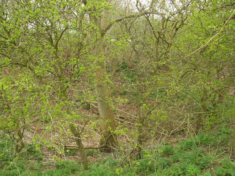
Looking into the crater. The scale of the excavations can be seen from the height of the tree trunk in the centre of the picture while the sky visible along the top of the image shows the height of the opposite side of the crater.
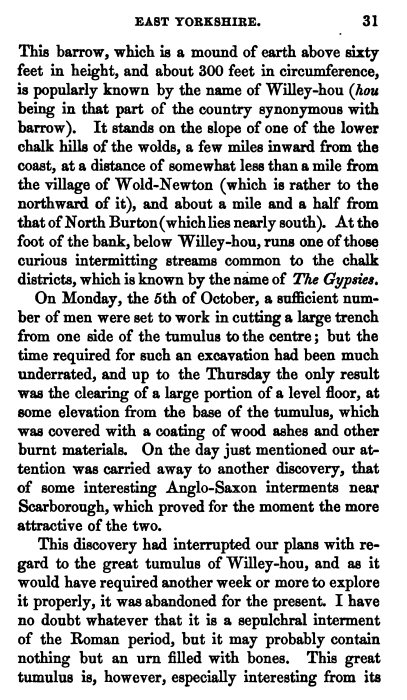
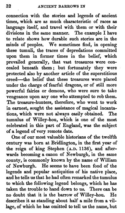
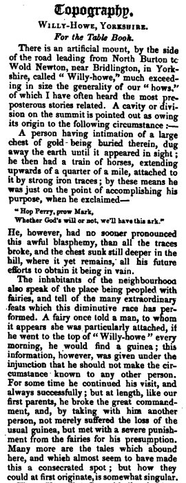
Scans from old books recounting various legends, firstly 'Essays on archaeological subjects' by Thomas Wright
from 1861 and also a page from 'The every day book' by William Hone published in 1827 (click to view)