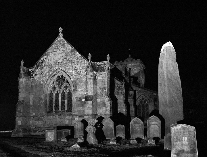
 The western face of the Rudston Monolith |
The Rudston
monolith is the tallest prehistoric standing stone in Britain, measuring
almost 8 metres high, nearly 2 metres wide, a metre thick and estimated to weigh
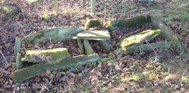
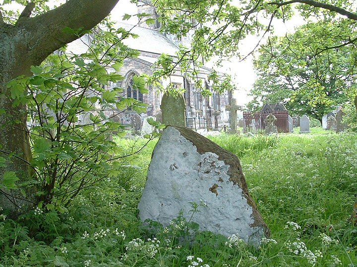
somewhere in the region of a massive 26 tons. This giant block of grey sandstone or gritstone was errected here either in the late Neolithic or early Bronze Age and is thought to have been quarried more than 10 miles away in the Cayton Bay area south of Scarborough, although the glacial transportation of a large block of stone that was then shaped and utilised by the prehistoric residents of the area cannot be ruled out. The top of the stone has been weathered and eroded into a fluted peak similar to the stones of the Devil's Arrows and a lead cap was first added to try to preserve it in the 18th century. The churchyard of All Saints that it stands in is of course much younger and although the christianisation of the site took place around 1100AD the stone had already stood here for at least 3000 years. The monolith stands close to the Gypsey Race, an occasional stream that flows along the floor of the Great Wold Valley from close to the barrow of Duggleby Howe in the east, past another pair of barrows at Wold Newton and Willie Howe before turning south past the Argham Henge and Cursus down to Rudston itself where it bends sharply and heads eastwards to the sea at Bridlington. The whole of the Gypsey Race landscape was obviously important in prehistoric times and holds a rich selection of sites, most of which have been destroyed or badly damaged by ploughing, including many round barrows, several long barrows, four cursuses and at least one henge. It continued to retain its importance into the historic period - a major Roman villa was discovered to the southwest of Rudston village. In the corner of the churchyard is a much smaller stone presumably brought here from a local barrow and also the remains of a double cist that was removed from a nearby barrow on Rudston Beacon by the antiquarian Canon Greenwell in the late 19th century (see images below). See also Introduction and maps of the Rudston Landscape page for an overview of the monuments in the area. |
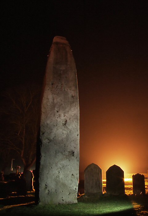
 This view shows how much the monolith dominates the churchyard. This view shows how much the monolith dominates the churchyard. |
 Click the thumbnails above to view images as a slideshow. |