 |
There
seems to be little information available about this site and very little to see
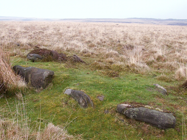
on the ground but I have included it here for the sake of completeness. The little I know is that it is the remains of a Bronze Age ring cairn that has been badly damaged by a Medieval pack horse track that has left only a the south-eastern part of the bank and a few stones remaining. Although it is a difficult site to find, the form of the bank and the kerb stones set into its outer and inner edges soon become recognisable once you get here. The photograph above shows the view looking east over what remains of the bank with the three stones in the foreground being part of the outer edge, a couple of stones of the inner edge can be made out just beyond to the left and right. Because there is so little left here it is also difficult to gauge the original size of the monument although it would appear to be quite large, perhaps as big as Barbrook IV but with a slightly narrower bank. Barbrook IV stands a short distance to the northwest of Swine Sty settlement site and on the opposite side of the Bar Brook stream to the other circles of Big Moor. |