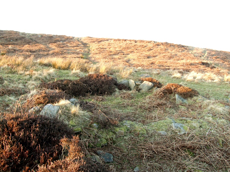
 Remains of a hut circle below the escarpment |
|
Swine Sty is an extensive
prehistoric settlement and farming site on the south-western side of Big Moor on the opposite side of the stream of Bar Brook from a large collection of cairns
and the stone
circles of Barbrook I, Barbrook II
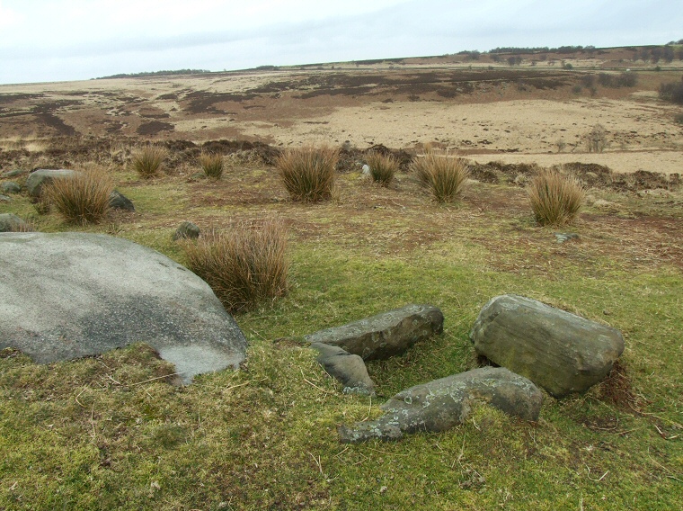
and Barbrook III. The area of Swine Sty is divided into two by a low escarpment with the majority of the Bronze Age field systems occurring on the higher ground to the north, these are thought to include areas for crop production or the pasturing of animals, clearance cairns, as well as possible stone built structures of uncertain use. However, much of this part of the moor is covered with thick layers of heather and I found it difficult to make out many of the features of the landscape, even in winter. To the south of the escarpment is an area that was excavated to reveal stone built enclosures and hut structures (the base of one of these huts is shown above) as well as pottery remains and evidence of possible coal working. Radiocarbon dates suggested that the site was in use around 1900 BC. A short distance to the northeast of the settlement at SK275753 are the remains of a stone cist next to a rock outcrop (photograph below). Its position offers some fine views to the southeast and southwards towards Birchen Edge and the prehistoric sites of Gardom's Edge. |
 Cist at SK275753 looking northeast |