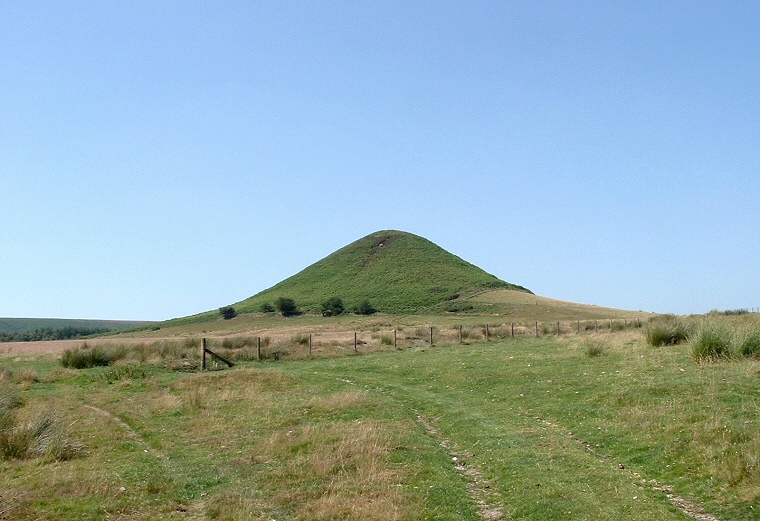
The view from the southeast along Thompson's Rigg.
The
hill of Blakey Topping is another proposed 'sacred hill' like the nearby
Howden. They are believed by some
authors to have been of ritual significance to the early inhabitants of
the area and possibly the inspiration for some of the larger prehistoric burial mounds
and also the man-made Silbury Hill
in Wiltshire.
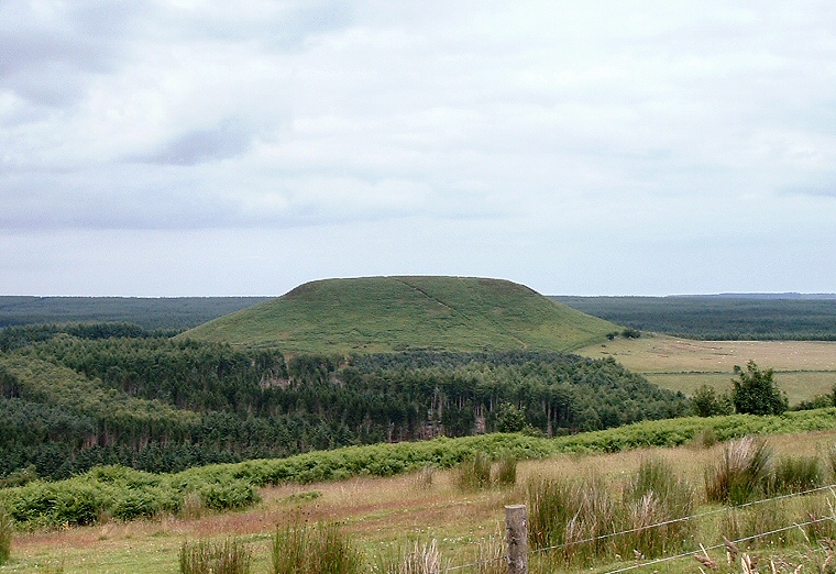
Blakey Topping has two quite different aspects depending on which direction it is viewed from. When approached on foot from the southeast, traveling across Thompson's Rigg its form is strikingly conical (photograph above) and it looks similar to Howden Hill when viewed from the same angle. When approached from the west along the track known as the Old Wife's Way the view is totally different and the hill appears steep sided with a distinctive flat top (photograph below).
In support of the sacred hill theory Blakey Topping has a small arrangement of four standing stones at its base to the southwest at SE872934 although it is not clear what kind of monument these originally were. The authors Aubrey Burl and James Dyer suggest they were a stone circle while English Heritage believe they formed part of a stone alignment. It is probable that some stones have been lost from the site and what remains is as follows:
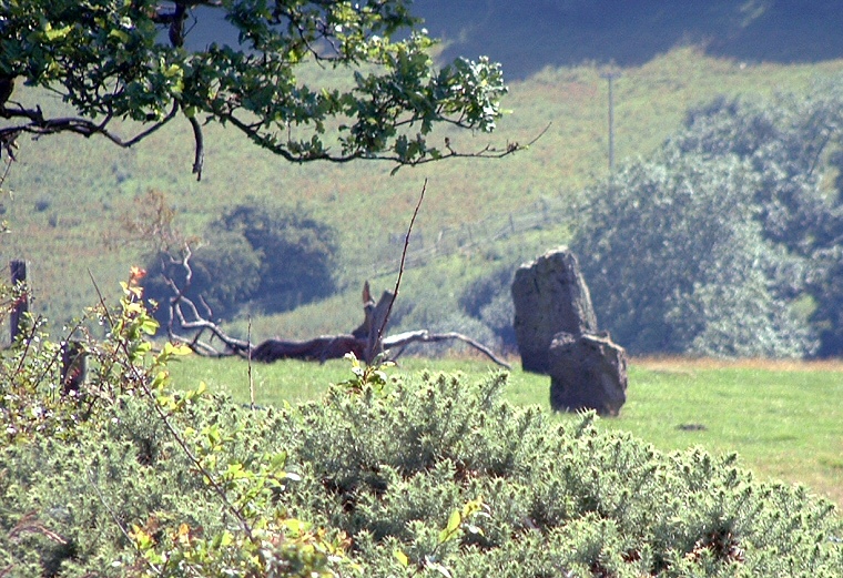
There are two stones on the west side in a south-southwest to north-northeast alignment, with the stone to the north being 80cm high, the top having been broken off. The southern stone stands 15 metres to the south-southwest and is 1.7 metres tall. On the eastern side of the alignment the southern-most stone is now part of a field boundary and is 20 metres to the southeast of the southern stone on the west side. It stands 1.3 metres above the modern ground level with a slight lean to the south. The north stone of this pair has been moved at some point in time and is now 85 metres north of its partner and is 1.1 metres high.
If the site was an alignment and not a circle then the line of these stones would have continued the curve formed by the three stones still in their original positions or formed two parallel rows, part of which survives as the two western stones - without knowing the original number and location of the stones it is impossible to tell.

Blakey Topping seen from the west.

A rather distant shot of the two western stones of the alignment.