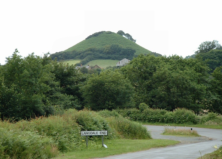
Howden Hill viewed from the southeast.
In recent
years several authors have proposed the theory of scared hills, or hill alters.
These ideas suggest that certain hills held a spiritual or ritual significance
to the local prehistoric population and were the location of ceremonies, also that the significance
of these hills can also sometimes be evidenced by other sites such as stone
circles that stand within their view.
One of these proposed hills is situated to the northwest of the village of Langdale End and the River Derwent in North Yorkshire and is known as Howden Hill. The whole area covered with hills and when approached from the southeast Howden does not become visible until just before the road crosses the river south of the village. From here it suddenly surprises the visitor in the same way that Silbury Hill does when approached from the east, indeed Howden and the nearby Blakey Topping have been called proto-Silburys, the assumption being that the man-made Silbury was perhaps modeled on hills like these.
From this southeastern direction Howden appears conical and is reminiscent of Glastonbury Tor, but as you move round to the east the trailing spine of the hill becomes visible where a path leads up to a depression on the summit. The author Julian Cope believes that a raised area in Langdale End now occupied by a church could originally have been the site of a stone circle and points out the similar arrangement at Blakey Topping which still has four standing stones at the bottom of its slopes. It is interesting that Blakey Topping can be seen on the horizon from the top of Howden and also from the road that leads up to the village of Broxa where both hills can be seen together.

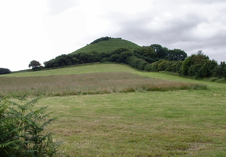
Howden Hill seen from the south