 |
|
This huge
earth and limestone monument in the village of Dove Holes sits behind
a church, school and sports centre to the west, a small housing estate
to its north, a playing field to the south and abandoned limestone quarries
to the east. That it survives at all in the face of this onslaught seems
a miracle especially as it was under cultivation by the 18th century,
suffered quarrying in its northeast sector in the 19th century and would
have been swallowed up by the quarries to its east were it not for the
prompt action of some Buxton archaeologists at the turn of the 20th
century. In the past few years there has been an effort to preserve
and promote the henge
to some extent and the site is now fairly tidy (it was often the location
of illegal dumping) and even has an interpretation board nearby but
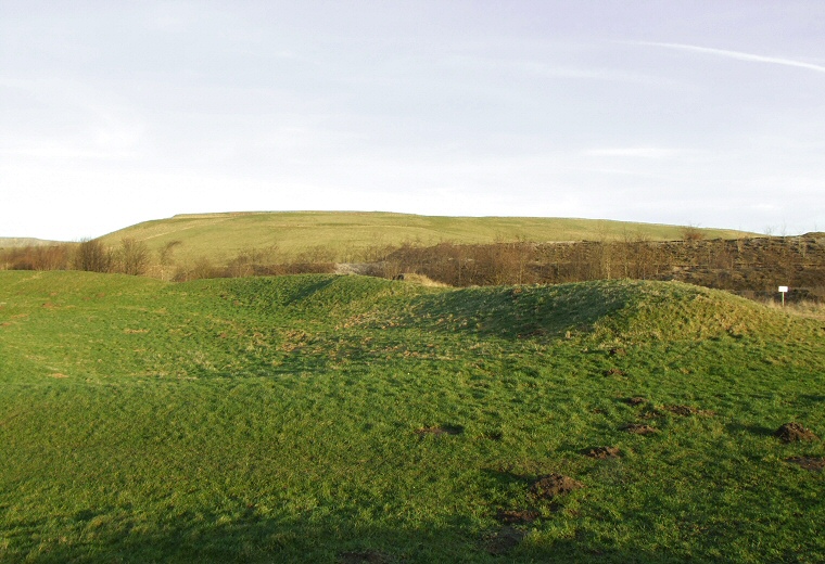
it still retains an air of being unloved and abandoned. What remains here is a bank with outer dimensions measuring about 90 metres (roughly the same size as the henge at Arbor Low) that stands around a metre high with a width of 9-11 metres - it is thought that it would originally have been 2 metres tall and 6-7 metres wide. The bank is broken to the north and south by two 9 metre wide entrances that form a causeway across a 5 metre berm and internal ditch (the photograph above shows the view of the southern entrance and eastern bank). The ditch which would have been about 5-6 metres wide and up to 2 metres deep now measures between 8-12 metres wide and 0.5-1 metre deep. The central platform forms an north-south oval of 53 metre by 46 metres. A record from the late 18th century notes that there was a single standing stone from a reputed stone circle at henge - this is now long gone and it is unclear how many stone stood here or when they were removed. To the southwest of the earthworks there is a multistage barrow close to the church walls. It has been suggested that this started life as a Neolithic oval or long barrow and that it was later overlaid by a Bronze Age round barrow (in a very similar manner to Gib Hill close to Arbor Low). The modern distractions of the area make it difficult to assess what the surrounding landscape may have looked when the site was constructed. Checking maps however reveals that the Bull Ring stands at the junction of three valleys - two to the southwest and southeast are now the route of railway lines and one to the north quickly splits into two - to the northwest towards what is now Chapel-en-le-Frith and one to the northeast that leads towards Mam Tor. It could be that the Bull Ring served as an easily accessible meeting point or trade centre for the prehistoric inhabitants of the High Peak area. |
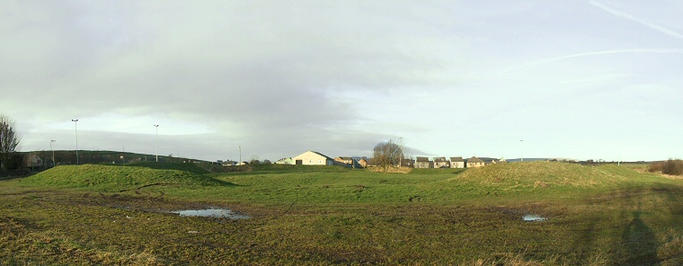
 The view looking north through the southern entrance |
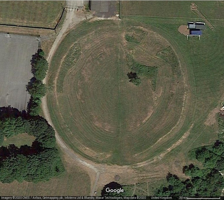
 Satellite image of the Bull Ring. |