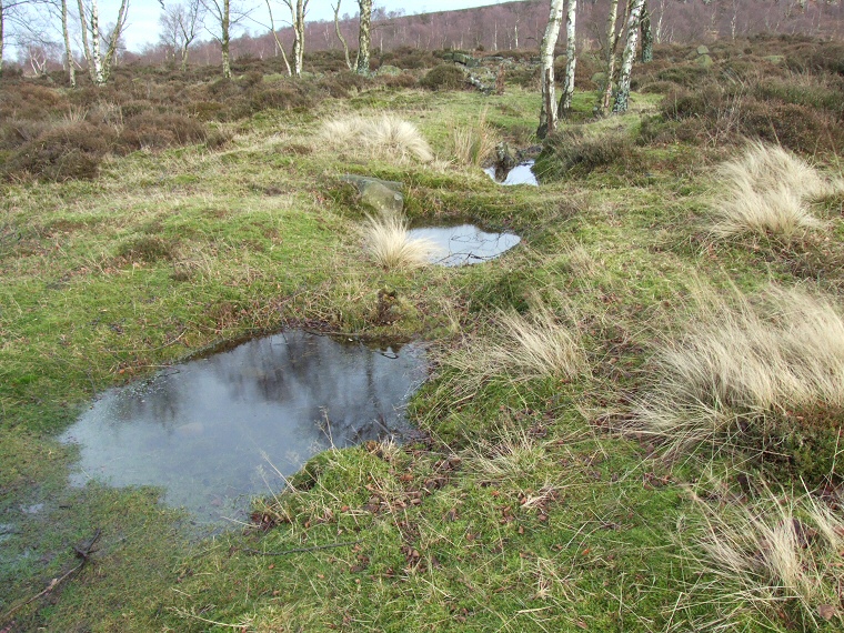
 Line of three of the pits, looking east |
This
is one of the most intriguing of the archaeological features of the Gardom's
Edge area. It consists of an east-west row of pits or depressions cut
into the ground to a depth of about 70cm and carefully lined with clay
and which hold water after wet weather. These pits were dug in the late Iron Age at a time of deteriorating climatic conditions that could have made survival on Gardom's Edge difficult and it is possible that the alignment had some ritual purpose in connection with the failing viability of the landscape - the 1998-99 excavators certainly didn't regard these pits as being connected with livestock grazing. A further couple of personal theories would be that they may have formed some sort of territorial boundary or that they may have been used or ritual 'cleansing' of objects. Other Gardom's Edge sites: Carved Rock , Enclosure (Meg's Wall), Ring Cairn Round House, Standing Stone, Three Men of Gardom's |