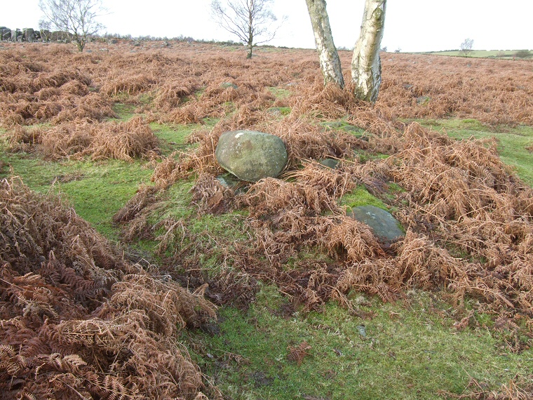
 Southeast entrance (centre left) with stones and arc of the eastern bank beneath the tree. Jan 2008 |
I've seen pictures of this
site taken during the winter or early spring and the ring of rubble
and inset stones are clearly visible. However when I visited in the
autumn of 2007 it proved very difficult to make out the features with
only a couple of larger stones visible through the thick layer of bracken
blanketing the site. Adding to this difficulty is the fact that the ring
cairn is further west than the OS map shows it. There seems to be little information available about this cairn but it is said to have an outer diameter of around 14 metres with a pair of entrances to the southeast and northwest. A short distance along the path to the northwest is a group of clearance cairns, I'm not sure if these are contemporary Bronze Age structures or more recent results of land clearance. *Update* Jan 2008 The site is much more visible once the vegetation has died back. Other Gardom's Edge sites: Carved Rock, Enclosure (Meg's Wall), Pit Alignment Round House, Standing Stone, Three Men of Gardom's |