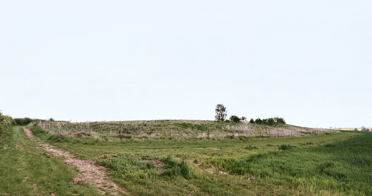
Giant's Hills I in early summer 2002 - wide angle view looking east. (View 1 - see plan)
 To
the southeast of Ulceby and to the west of the former Roman road now known as the
A1028 are the remains of the three Giant's Hills long
barrows.
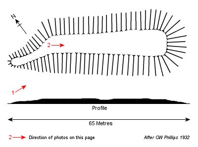
 The first of the three barrows - Giants Hills 1, is situated at OS grid reference TF 4286 7110 on a south facing valley lip at a height of 70 metres above sea-level. It is aligned southeast to northwest and follows the contours of the hillside. Measuring 64 metres in length and with a width of 23 metres it is the shortest of the barrows but is by far the best preserved of the group.
The barrow was excavated by C. W. Phillips between 1933 and 1934, who found a large wooden enclosure which contained a small platform of chalk blocks. Laid out on these blocks were the remains of seven adults and a child - interestingly there was a line of eight posts across the northwest end of the barrow and it is tempting to suggest that these may be linked to the number of burials.
In the same way that many southern barrows have large blocking stones at their entrances, this barrow had a façade of huge split timbers arranged in a crescent at its southeast, it has even been suggested that these may have been carved or painted. From this frontage, two lines of posts ran almost the entire length of the barrow and parts of it seem to have been divided up with a hurdling fence. The entire barrows was surrounded by an encircling quarry ditch with a narrow causeway at the northwest end.
The second barrow in the group - Giant's Hills 2 - is a little further down the hillside at TF 4292 7088 and stands 55 metres above sea-level. Due to plough damage it now survives as only a very slight swelling on the ground but originally it would have been some 77 metres long by 19 metres wide. It is also aligned southeast to northwest and follows the contours of the hill. Results of excavations were published by Evans and Simpson in 1991 showing the barrow had a trapezoid form with a fully enclosing outer quarry ditch.
The third barrow now survives only as a cropmark, and stood at TF 4278 7127. It was aligned southeast to northwest, again following the contours of the hill at 75 metres above sea-level, and measured 76 metres by 23 metres.
All three of the barrows date from the Neolithic and make an interesting comparison with the better preserved Deadmen's Graves a mile away to the northeast.
See also: Lincolnshire Long Barrows Introduction and site list.

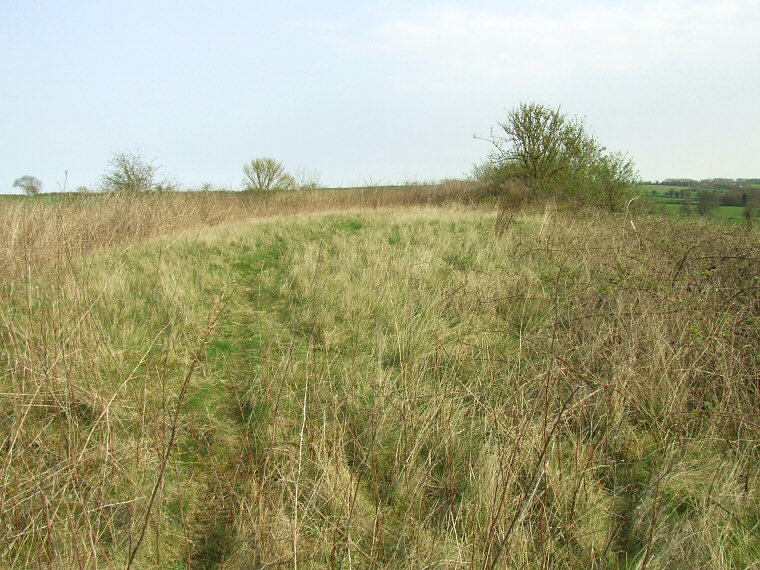
The view looking southeast along the spine of Giant's Hills I from close to the western end, spring 2010. This is the only section of the barrow that isn't now overgrown with grasses, brambles and bushes. (View 2 - see plan)