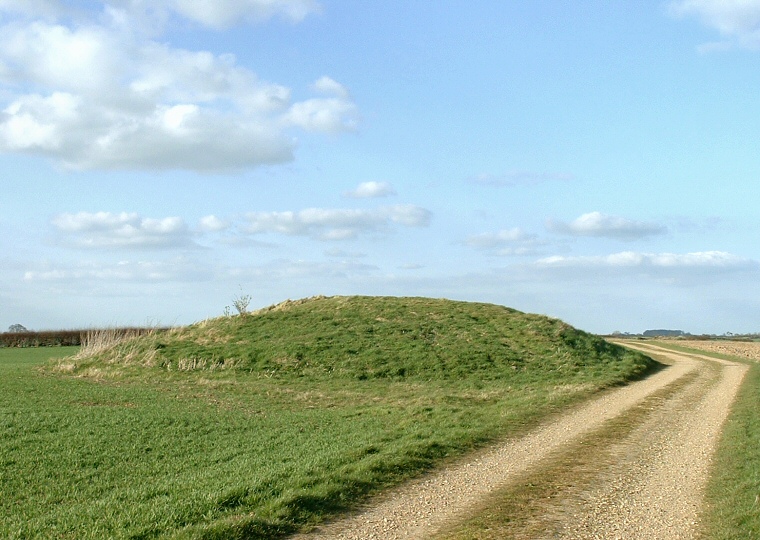
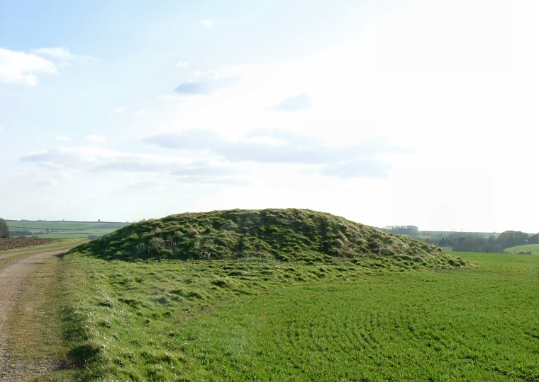
This well preserved
round
barrow that measures about 2.5 metres high and 20 metres in diameter stands
immediately to the west of the Viking Way to the northeast of the village of Burgh
on Bain. The siting of this mound at 110 metres above sea level on a north to south
spur allows fine 360 degree views of the surrounding rolling countryside and this
was obviously taken into consideration by the barrow builders. Also of probable
significance is the fact that this spur is bounded by a tributary of the River
Bain on the eastern side while the Bain itself passes by the the West. The River
Bain crops up several times in relation to the monuments in the part of Lincolnshire,
most intriguingly further south at Shearman's
Wath
henge.
The fields that surround Grim's mound are rich in flint
and it could be that some of this flint was collected and passed up and down the
ancient trackway now known as 'High Street' that runs a couple of miles to the
west - High Street itself is associated with a number of Neolithic
and Bronze
Age barrows.
Of more recent interest is the fact that within a few square miles are the remains
of several deserted medieval villages (DMV) including the villages of West Wykeham,
East Wykeham, Calcethorpe, South Cadeby and Biscanthorpe.
It is assumed that the name 'Grim's Mound' is associated with the legend of Grim,
the Danish founder of the nearby town of Grimsby. |


