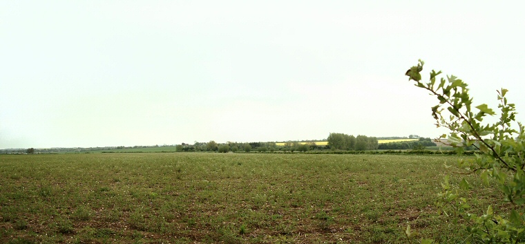
View looking across the site of Shearman's Wath Henge.
Although there
remains nothing to see on the ground of the earthworks of Shearman's Wath Henge (also known as West Ashby Henge) this is nevertheless still an important
site in the understanding of prehistoric Lincolnshire.
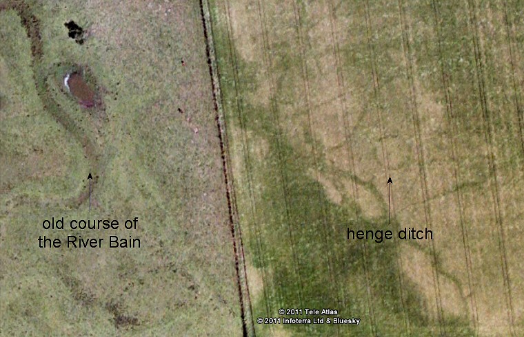
It was first discovered by the aerial photography of crop marks in the 1970's that revealed a slightly oval area measuring about 25 metres in diameter surrounded by a 2 metre wide segmented ditch with entrances to the northwest and southeast, making this a Class II henge. No trace of the external bank that we might expect to find associated with this type of monument has been found but we could reasonably assume that this would have extended the size of the monument by another 2-3 metres on either side. Just beyond this proposed bank was discovered a ring of twenty-four pits or post holes, whether these were originally left as pits, perhaps for ceremonial offerings, or used to support wooden posts is not known at present but an extract from English Heritage's scheduling report of the site tantalisingly suggests that they may have held standing stones. Personally I think this is highly unlikely as there appears to be almost no tradition of the use of stone within Lincolnshire (or at least no surviving evidence) - it is not used at other sites, so why here, and where would this stone have come from?
Looking at aerial photographs of the site (image below) shows what looks like the dried remains of a stream or river just to the east of the current course of the River Bain - was this the original course of the river? If so then the henge was closer to the Bain than it is now and this might strengthen the argument that this site was somehow ceremonially linked to other sites associated with the Bain such as the round barrows of Grim's Mound and Ludford further to the north.
Date: late Neolithic or early Bronze Age

Google Earth image from 2005 showing the crop mark of the henge ditch.