 |
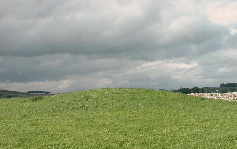
The Hill of Skulls,
or Skellaw, is a spectacular name for a less than spectacular Bronze
Age round
barrow that stands just to the northwest of the village of Shap.
It may once have been much larger and more impressive but what remains is now a low hill measuring around a metre and a half tall with a diameter of about 17 metres and any former impact in the landscape it may once have had is also reduced by modern drystone walling immediately to the south and east. We can perhaps guess at its importance to the prehistoric population of the area by the fact that it stands towards the north end of the Shap Stone Row - you could just about draw a straight line between the barrow, the stone at Aspers Field and the Goggleby Stone - what is not clear however is whether Skellaw predates the stones or was constructed after the stone rows were erected. It could be that the barrow and the stones are associated with the River Lowther less than a mile to the west, which flows northwards and passes close to King Arthur's Round Table henge at Eamont Bridge. |
Back to Map | Home | Full Glossary | Links | Email: chriscollyer@stone-circles.org.uk