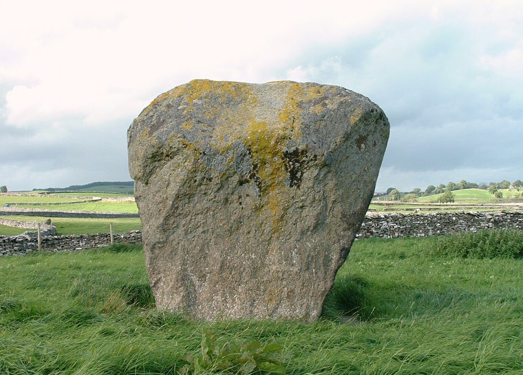
The Goggleby Stone - looking north..
This collection of stones
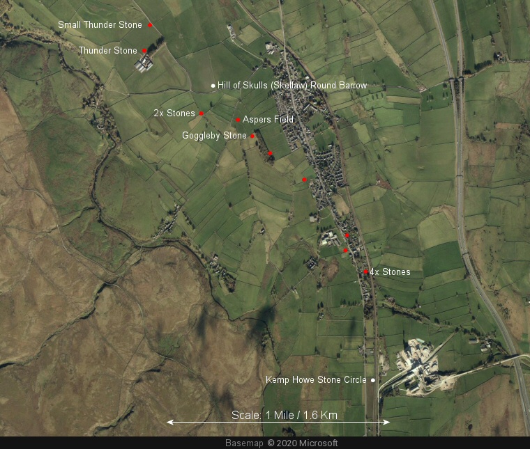
form a curving southeast to northwest alignment or avenue that runs for about a mile and
a half from the south of the village of Shap, passing through the village itself
embedded in walls and standing in gardens, and ends in a field less than half
a mile from the River Lowther. English Heritage record fourteen stones in the group,
some are free standing, others fallen or leaning, while the largest (the Thunder
Stone) is a glacial erratic. It has been suggested that several more stones may have formed part of the alignment - most of these
are hidden among the buildings of the village.
The grid refernces of the stones given by English Heritage are as follows:
NY55171592 (Small Thunder Stone), NY55151574 (Thunder Stone), NY55551528, NY55551526, NY55841520 (Aspers Field), NY55921509 (Goggleby Stone), NY56051496, NY56301477, NY56611436, NY56591425, NY56741411, NY56751410, NY56761409, NY56741409.
All the stones are formed of a local granite and several are marked with simple rock-art, the Small Thunder Stone has a cup and ring, Aspers Field has two cups, one of which has a ring and the Goggleby Stone has a single cup.
That this alignment formed an important part of a ritual landscape cannot be doubted although as always it is difficult to figure out what was going on here and how (or if) other lost or remaining monuments (or the River Lowther) were involved. Stone rows are often thought to have been used as processional routes either for people or spirits of the dead so we could speculate that the Shap alignment formed some kind of link from Kemp Howe stone circle in the southeast past the Hill of Skulls round barrow to the northwest and on to some point that has either been lost or remains yet to be recognised.
The stone rows were recognised and documented as early as the 17th century by the antiquarian William Camden who provided us with a brief description in his wide ranging survey of the British Isles, 'Britannia'. On the subject of Shap he says:
'Here are large Stones in the form of Pyramids (some of them nine foot high and fourteen thick) almost in a direct line, and at equal distances, for a mile together. They seem design'd to preserve the memory of some Action or other ; but time has put it beyond all possibility of pointing out the particular occasion.'
Probable Date: Bronze Age

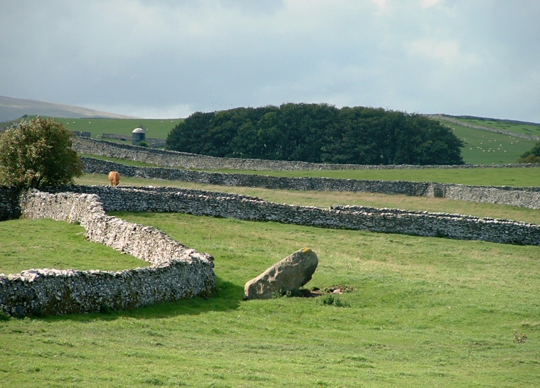
Aspers Field Stone - seen from the Goggleby Stone.

Plan of the stones listed by English Heritage as forming the Shap stone row overlayed on a Bing map. The stones are marked as red dots, the white dots show the associated Hill of Skulls round barrow and Kemp Howe stone circle. It is interesting to note how the landscape form changes to the west of the River Lowther which meanders northwest on the left of the image.

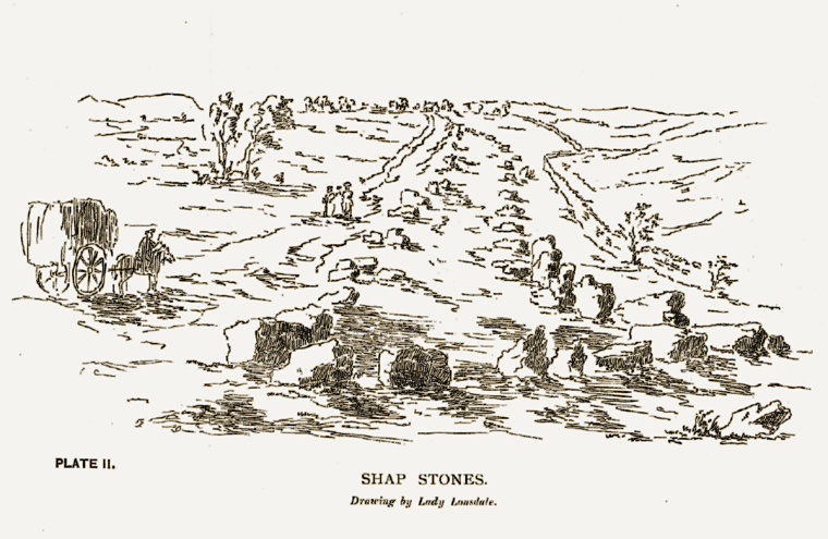
Lady Lowther's depiction of the southern end of the Shap stone rows in 1775, the drawing seems to be taken from an almost identical watercolour also credited to her. The view is looking northwards from the circle at Kemp Howe which is shown as about a dozen stones in the foreground.