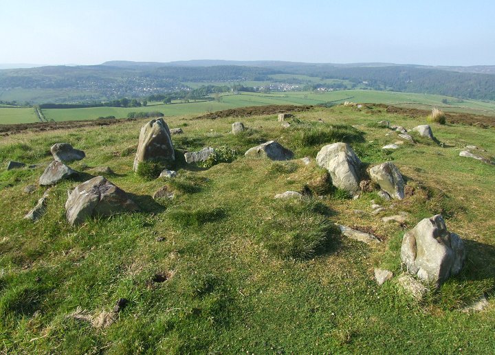
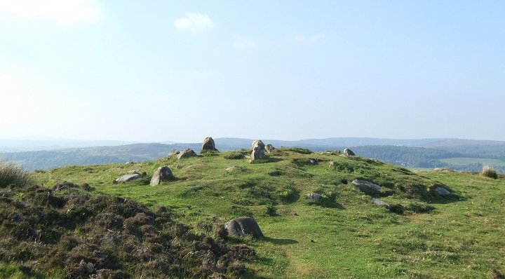
 A pair of cairns to the northeast of the hillfort looking north. |
|
The Lordenshaw
area contains much of prehistoric interest, there are the famous rock
carvings, a hillfort, a settlement
site and field systems as well as a small collection of cairns.
These cairns are mainly located to the east and northeast of the hillfort and eleven are recorded with the photographs on this page being of the cluster of seven mounds to the northeast of the fort - this group stands on the slopes of a small spur of land that extends northeastwards towards a small stream that feeds into the River Coquet. The cairns are constructed of earth and rubble but also include some substantial stones within the body of their mounds with two of the cairns having a retaining or revetment ring of stones around them while a pair that were excavated in the 19th century were found to contain stone cists, the remains of which can still be seen today. All the cairns in this group are of a similar size, measuring between 7-8 metres in diameter but vary in height from less than half a metre to a metre tall. The remaining cairns stand on more level ground to the east of the hillfort and measure about 5-6 metres in diameter and up to a metre tall. Date: Bronze Age |
 Cairn to the northeast of the hillfort |
Back to Map | Home | Full Glossary | Links | Email: chriscollyer@stone-circles.org.uk