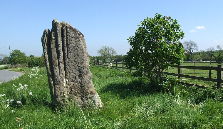
 The Matfen Stone looking east. |
|
|
This rather
impressive looking stone stands by the side of a minor road that runs
to the south of the lands adjoining Matfen Hall and golf course.
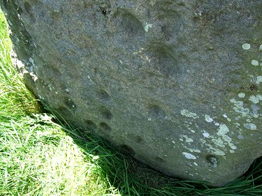
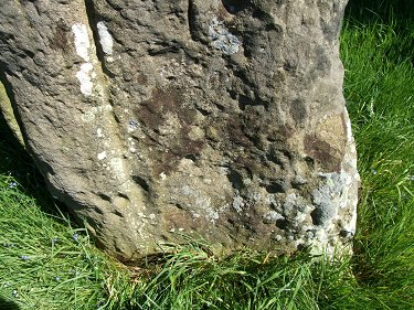
It is a slab of just over two metres (or nearly seven feet) tall and a metre across with its widest faces oriented east and west and all four sides have deep grooves caused by water erosion, a feature that can be seen on other standing stones such as the Bull Stone and the Devil's Arrows, both further south in Yorkshire. What sets this stone apart however is the inclusion of cup marks on the lower sections of three of the faces. Because of the way the stone has weathered it is not that easy to distinguish between mad-made cups and natural marks in the rock surface but in the book 'Prehistoric Rock Art in Northumberland' Stan Beckensall puts the count at twenty-nine cups on the eastern face, twenty-three on the western face with five or six on the northern face plus several other possibles. Why this stone was placed here is a bit of a mystery, assuming it is in its original position then there is little in the surrounding landscape that could point to its purpose although it is possible that other monuments stood nearby that have since been destroyed. The stone stands about 900 metres south of the River Pont on a spur of land that juts out northwards into its valley, did this piece of land overlooking the river have special significance to the prehistoric population of the area? Probable Date: Bronze Age |
|
 Cup marks on the eastern face of the stone |
 Cup marks on the western face of the stone |
Back to Map | Home | Full Glossary | Links | Email: chriscollyer@stone-circles.org.uk