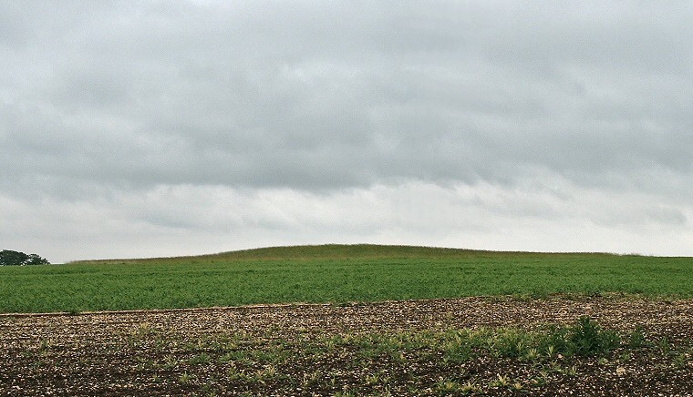
View looking east with rain clouds gathering over Southside Mount barrow.
Southside Mount
Barrow stands on a hillside to the southeast of Rudston village that overlooks much of the Gypsey Race landscape
to the north and west.
Although plough damaged like much of this ritual area, it still survives to a height of nearly 3 metres with a diameter of around 30 metres. The mound contained an earthen core which was then covered with a layer of chalk rubble and surrounded by a circular ditch, with a further square ditch beyond that, similar to the large barrow at Wold Newton. Both of these ditches are now silted up and not visible on the ground.
It seems that the barrow was built to house the body of a young infant, although several bones from a young woman were also found, leading to the theory that these could belong to the child's mother who may have died and been buried some time before, only to be dug up to be reunited with her young child at its death. From the size and location of the barrow these must have been prominent local people, perhaps a powerful family group as there is evidence of many other later burials being added to the mound.
The date of this barrow is unclear, however evidence of Neolithic domestic waste within the mound material may point to it belonging to the local group of large Neolithic round barrows that include Willie Howe, Duggleby Howe and Wold Newton although a later Bronze Age date is possible.
See also: Introduction and maps of the Rudston Landscape