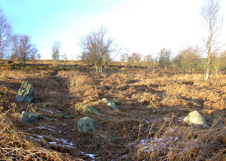
 Looking north over the arc of four standing stones and possible central cist. |
|
|
This site
is a bit of a mystery as very little seems to have been written about
it and it is not recorded on English Heritage's list of scheduled
monuments.
Set on the southern slope of Blacka Hill above a small stream with Wimble Holme Hill dominating the skyline to the south it consists of four upright stones set into an arc that would have formed a circle of about 7-8 metres in diameter plus a further three fallen stones lying towards what would have been the centre of the circle. Whether this was ever a true stone circle is debatable, it has been suggested that the four uprights could have been set into the outer edge of a barrow or cairn that has been robbed for building material and that the central stones formed part of a cist although perhaps they were part of the kerb and have been uprooted and dumped in the middle in more recent times. The Peak District author John Barnatt draws parallels with the kerbed cairn on Moscar Moor but mention should also be made of similarities to the small stone circle on Bamford Moor which is roughly the same diameter as Strawberry Lea but with slightly larger stones. Suggested Date: Bronze Age |
Back to Map | Home | Full Glossary | Links | Email: chriscollyer@stone-circles.org.uk