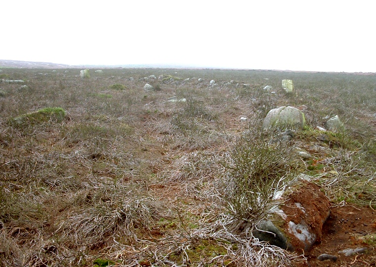
 Boundary wall of the enclosure curving upwards and to the upper left of the picture. |
Woofa Bank is an area to the northeast
of Ilkley Moor and to the southeast of Green
Crag Slack that has the remains of a prehistoric enclosure system on its gently
north facing slope as well about a dozen cup
marked and carved
rocks. The enclosure is roughly oval and measures about 80 metres by 50 metres
with the low walls consisting of earth and rubble as well as some larger stones
which can be best seen to the north and west and although the enclosure is thought
to date to the Bronze
Age it is possible that this area was in use from as early as the Mesolithic
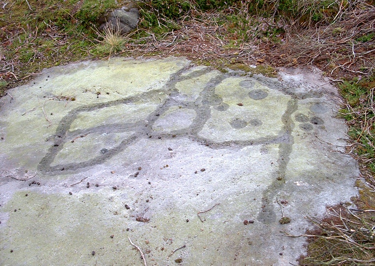
era. There are several carved stones within the enclosure and a couple more outside. The most interesting is the one shown immediately below that has cups and a series of grooves that appear to form a random pattern but it could be that they are meant to represent a map of the area. It may be that the grooves show field boundaries or stock enclosures and the cup marks could be interpreted as springs - part of the carvings on the stone are now overgrown with grass. PRAWR = Prehistoric Rock Art of the West Riding (Boughey and Vickerman 2003) See also Ilkley Moor & Rombalds Moor Introduction |
 Carved stone within the enclosure (PRAWR 372) marked with water for clarity - was this a map? |
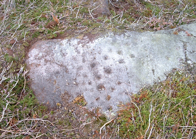
 Small cup marks on one of the enclosure stones. |
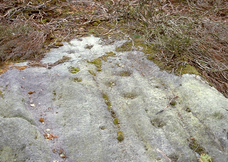
 Large cups and some grooves on one of the stones. |