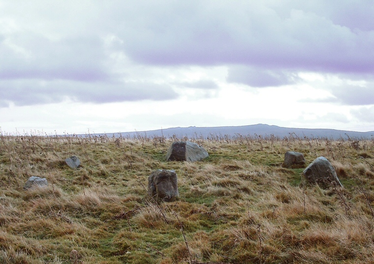
 Appletreewick circle looking towards the south. The natural boulder is at the top of
the ring.
 |
|
Also known
as Fancarl Top Stone Circle,
this is a ring of six stones measuring about 10 metres in diameter that
sits on a slightly northwards sloping hillside overlooking Hebden Moor
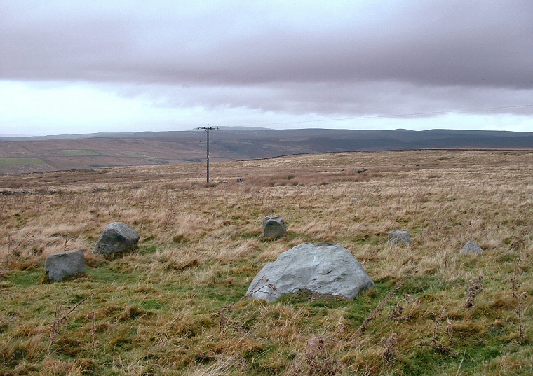
and Grimwith Reservoir. One of the stones here appears to be a natural earthfast boulder that is partly covered with grass and with a flat front facing into the circle, almost like it was addressing it - it could be that this stone was picked deliberately when the builders were deciding on the location of the circle. There are also some depressions on the top of this boulder that could well be cup marks and it is interesting that there is a concentration of carved stones nearby to the southeast on Skyreholme Moor. While there are some fine views to the north and west at Appletreewick the views to the south that are visible from the nearby road are just about hidden at the circle itself with only the tops of the distant hills still in sight. Could it be that this circle was meant to be hidden from those living to the south and that it was only meant to serve the people living on the moors to the north? Suggested Date: Bronze Age See also the nearby carved rocks at: Skyreholme North, Skyreholme Central, Skyreholme South |
 The view looking north over the circle with the natural boulder in the foreground as the hillside slopes down towards Grimwith Reservoir. |