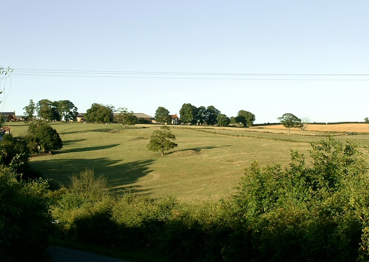
Overview of the site of the deserted village looking east from a minor road that runs close by. The bump to the right of the tree in the centre is one of the possible barrows - I believe the other is somewhere to the left.
It is James Dyer in his book 'Discovering Prehistoric England' who suggests that there are a pair of prehistoric barrows on the site and goes on to speculate that they may have been reused during the medieval period as bases for windmills, however he doesn't quote any sources for his information and I'm not convinced. If you have any information about the barrows please let me know.
The site is close to the long barrows of Giant's Hills half a mile to the east-southeast, Spellows Hill a mile to the west-northwest and Deadmen's Graves just over a mile and a half to the east-northeast.