 |
This site consists of a pair of
standing stones of possible Bronze
Age date located at the northern end of a small cairnfield
on the southwestern edge of Gibbet Moor, a little further west and
the hillside drops away to the shelf of land that holds Parkgate
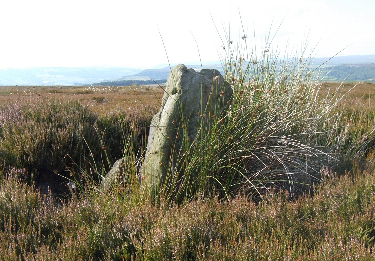
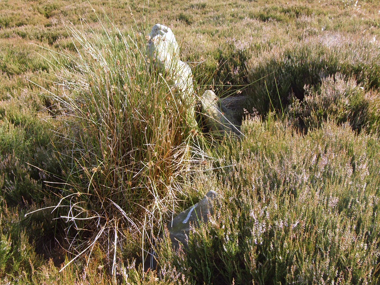
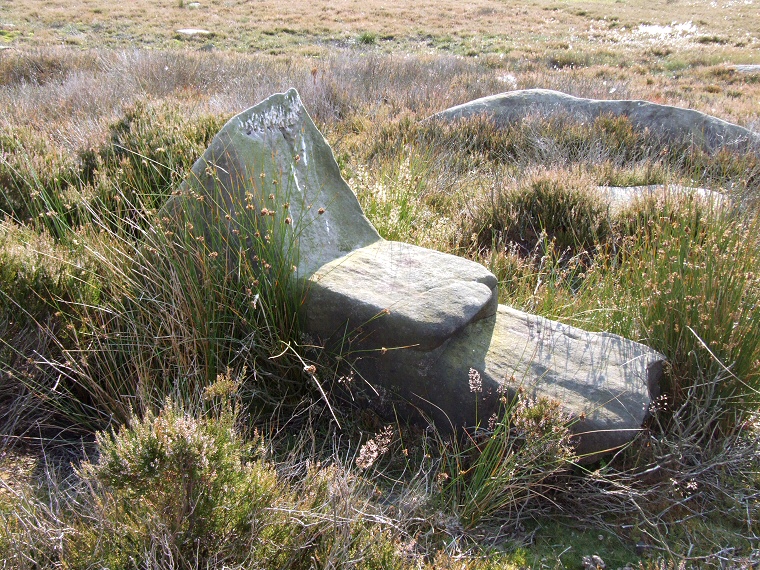
Circle. One of the stones measures just under a metre in height (shown above looking northwest) while the other is only about half a metre and barely pokes out of the heather, it is at the bottom of the image below. They stand within a metre of each other and around their bases are several boulders which may have formed some kind of kerb although it is not clear if they were originally part of a larger monument that is now lost. There is an interesting boulder about 40 metres west of this pair that resembles some kind or chair or lounger (image at the bottom of page), it is thought to be natural but its unusual shapes could have meant that the inhabitants of the moor deliberately incorporated into the cairnfield. From this part of Gibbet Moor there are some fine views from the northwest round to the northeast that would have taken in the settlement and farming areas of the moor which stand less than a mile to the north while the embanked cairn of Hob Hurst's House and the cairns of Harland Edge stand a short distance away to the southeast. |
 The second stone is in the foreground almost covered by heather. |
 An unusual natural boulder a short distance to the west of the standing stones. |
Back to Map | Home | Full Glossary | Links | Email: chriscollyer@stone-circles.org.uk