 |
It's
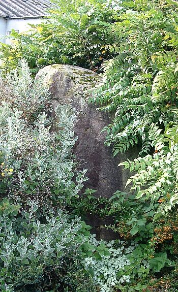
difficult to tell from the photograph to the left but this is a rather
impressive block of granite that stands about 1.8 metres tall with pronounced
vertical fluting down its front face. Sadly it seems to be unloved and uncared for and is rapidly vanishing into the foliage - I've seen a picture taken just two years before where the stone stands proud of the trees and shrubs that are now engulfing it. This sad state of affairs and lack of pruning is surprising as the building that can be seen top left of the picture is part of the Lilliput Lane Visitor's Centre - the company that manufactures miniature models of quaint old English cottages and whose land the stone appears to stand on. A company that makes its name by selling a vision of 'ye olde England' has a piece of very very old England on its doorstep and chooses not to make a feature of it - an opportunity missed, I reckon. There is some speculation that the stone once stood as part of an avenue of similar stones that are now lost or broken up for building material. This avenue could have extended from Sewborrans in the northwest down to the banks of the River Eamont just a few hundred metres to the south or even on toward the remaining henges of Mayburgh and King Arthur's Round Table about half a mile away to the southeast on the other side of the river at Eamont Bridge. Probable Date: Bronze Age |