 |
|
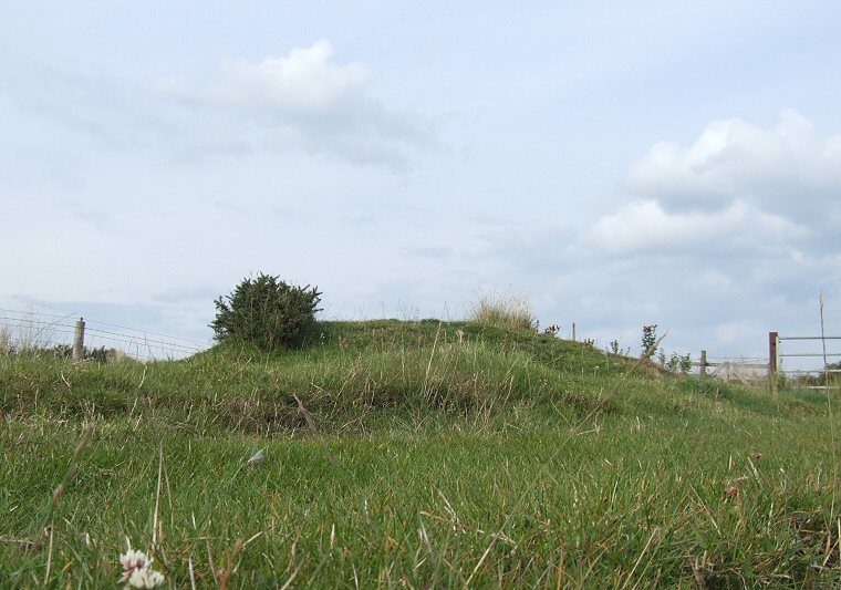
This round
barrow stands just over the fence next to a slip road off the main
A171 Scarborough to Whitby road which cuts across the south-western end
of Stony Marl Moor - the site of several other round
barrows and panels of rock-art
as well as a cairn
field and possible standing stone.
The barrow itself is a low elongated mound measuring 12 metres by 5 metres and standing less than a metre high but it could be that its original form was more circular with earth piled onto in for some unknown reason in recent times. It sits on a high point of land and is very similar in size to the two Jugger Howes barrows that stand 300 metres south east on the other side of the head of Burn Howe Dale, this position is interesting as all three barrows seem to mark the northern limit of the valley. Date: Bronze Age |
Back to Map | Home | Full Glossary | Links | Email: chriscollyer@stone-circles.org.uk