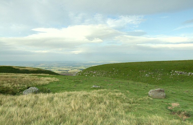
 How Tallon Stone Circle, looking north from the middle of the circle with a pair of boulders flanking a smaller stone in the centre the picture. The dip in the hills is the narrow and rocky Osmaril Gill with Eel Hill the dark area to the left and the hill to the right being the northwestern edge of How Tallon itself. Beyond these two ridges is the main area of Barningham Moor with the Tees Valley stretching away to the horizon. The position of the circle at the head of Osmaril Gill cannot surely be a coincidence when we consider the large number of carved rocks on the moor below, could it be that the circle marked an entrance to the moor, perhaps standing beside an ancient trackway that passed over the higher land to the south? |
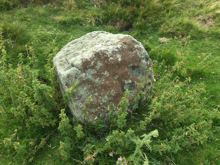
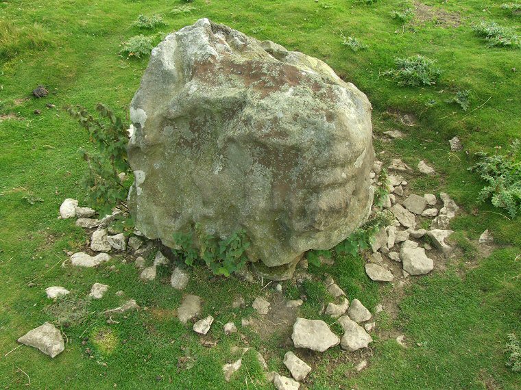
 The circle measures around 13 metres in diameter and consists of seven blocks of eroded sandstone, some like the ones above and below stand about half a metre tall while others barely reach above the short grass. It could be that some of these stones are actually larger but due to subsidence of the underlying limestone have been slipping below ground level for some time. This seems to be the case in the stone below where a scatter of chocking stones are evidence of efforts to keep the stone upright. |
 |
Back to Map | Home | Full Glossary | Links | Email: chriscollyer@stone-circles.org.uk
