|
PRAND
= Prehistoric Rock Art in the Northern Dales, Paul & Barbara Brown
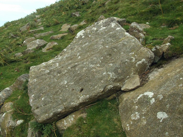
ERA = England's Rock Art, http://archaeologydataservice.ac.uk/era  BAR33a PRAND / ERA-857 / Barningham Moor 58 at NZ05230768. A cup with three rings is clearly visible on the face of this large boulder which may have slipped down the steep eastern slope of Osmaril Gill. |
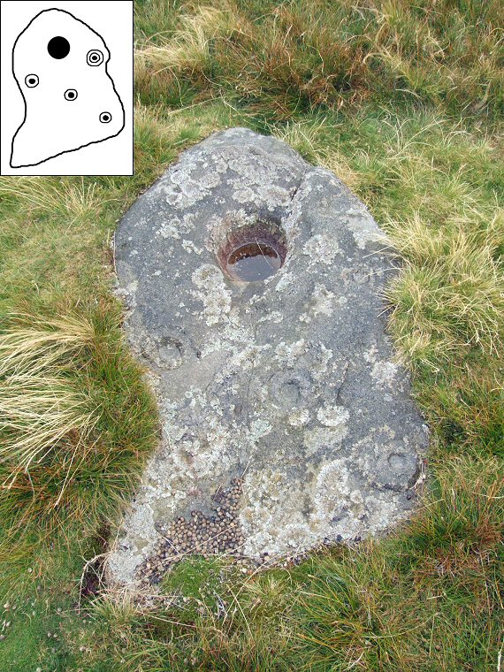
 BAR32b PRAND / ERA-856 / Barningham Moor 57 at NZ05130781. This is an intriguing stone, it stands in isolation at the eastern end of an east-west plateau on Eel Hill with stunning views northwards across the Tees valley towards the northeastern corner of the Pennines. The large deep 'bowl' near the top of the stone seems to be man-made and it could be that it was always meant to hold water or some other liquid. To the right is a cup with a pair of rings while lower down there is a staggered line of three single cup and ring motifs. |
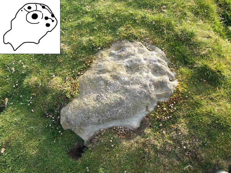
 BAR34 PRAND / ERA-859 / Barningham Moor 60 at NZ05210743. This stone which is located about 100 metres south of How Tallon circle is quite badly eroded with cups and worn grooves that may have formed part of a ring.  Eel Hill 360 Degree Panorama. |
Back to Map | Home | Full Glossary | Links | Email: chriscollyer@stone-circles.org.uk