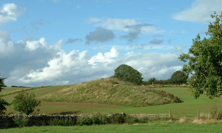
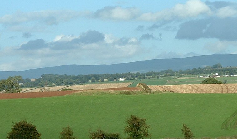
 The southern cairn at NY48293043 looking north from the B5288 road |
|
The site of
Mossthorn consists of a pair of Neolithic Long Cairns that stand to
the north of the B5288 road west of Penrith. This part of the road follows
the course of a shallow valley that runs northwest-southeast and the
cairns are located part way up the hillside of Copt Howe ridge on a
slight protuberance of land that extends roughly south-southeast with
the long axis of the cairns following the same orientation, i.e. they
follow the contours of the land in the same way to many of the earthen
long barrows of Lincolnshire (see Lincolnshire Long Barrows introduction).
The southern of these cairns seems to be the better preserved being about 50 metres in length and about 4 metres high with its southern end covered in rough grass while the northern end appears to be regularly ploughed. The northern cairn measures about 35 metres long but less than 2 metres tall, both were constructed of a mixture of cobbles and earth. The valley they stand above leads past the nearby Sewborrans standing stone and continues towards Penrith where it meets the River Eamont close to another standing stone at Skirsgill. Roughly a kilometre to the east of Skirsgill are the henges of Mayburgh and King Arthur's Round Table and it would seem that all these monuments were somehow interconnected, possibly in relation to an ancient trade route in axe heads. |
 The northern cairn at NY48253060 stands some distance from the road. |