This can be a difficult
site to find although it is just to the east of the track that leads north across
the moor to the Nine Ladies circle.
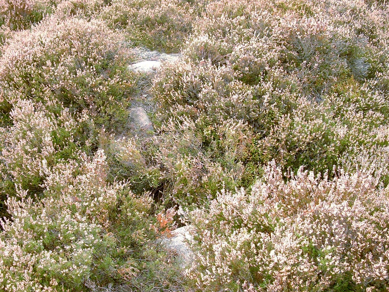
Even when you find it, it takes a little while to actually figure out the size and shape of the bank which is about 15 metres in diameter and about half a metre high in places with a small gap for an entrance to the south. The photograph above shows this south entrance as the small dark patch to the lower left of centre with stones of the bank above and below and the inner part of the circle to the right. Although there are a few stones dotted around the rim but it's hard to tell which may once have stood and which were simply boulders used to pack the bank, there is also appears to be a slight trace of a cairn near the centre. The poor state of the monument makes it hard to distinguish whether it was once an embanked stone circle or a ring cairn although English Heritage list it as the former.
The entrance that leads from the path through the west side of the bank into the circle is a modern intrusion but is useful for finding the site which like most of the others on this eastern side of the moor has fine views across the Derwent valley and to the hills beyond.
Date: Bronze Age
See also:
Stanton Moor Introduction, Nine Ladies Stone Circle
North Stone Circle, Central Ring Cairn, Doll Tor Stone Circle

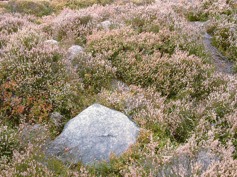
Looking west from near the south entrance. The curve of the bank is to the top left while the recent entrance from the main path is to the top right.