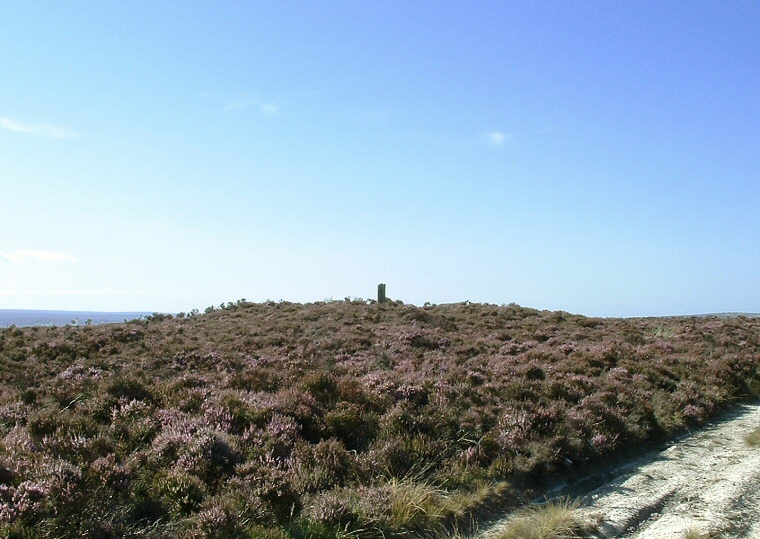
Ann Howe and Ann's Cross - looking west
About half a
mile southeast of the Foster Howe barrows and on the same ridge stands the
lowish barrow of Ann Howe. It measures about 18 metres in diameter by
just over a metre high and the English Heritage report for this monument
also mentions that there are traces of a surrounding 2 metre wide ditch
and possibly the remains of a stone kerb. It has a large crater in its
top (like many of these barrows) which contains the damaged remains of
the medieval Ann's Cross wayside marker.
While the barrow has great views west across Goathland Moor the eastward view towards the sea is now partly blocked by the trees of Louven Howe Side and Pike Hill. Ann Howe forms part of a chain of similar monuments that runs for nearly 7 miles from Black Brow in the north to the head of the valley of Stockland Beck in the southeast and it could be these barrows formed part of a territorial boundary across the moor. The chain includes Flat Howes, Pen Howes, Breckon Howe, Sil Howe, Flass Brow, Robbed Howe, Foster Howes, Ann Howe, Louven Howe, Lilla Howe, High Woof Howe and Low Woof Howe.
Date: Bronze Age