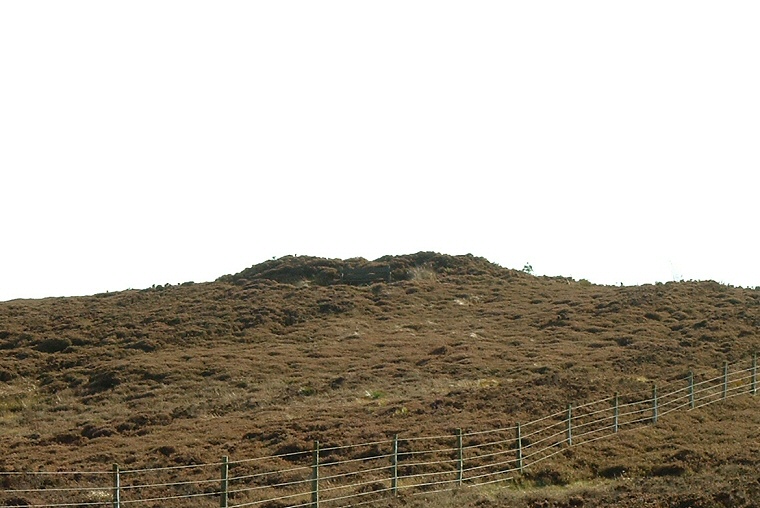
The largest barrow at Pen Howe, looking south.
Just to the northeast of Breckon
Howe barrow and a little lower down the northeast slope of Sleight’s Moor are
a pair of round
barrows which can best be seen from the cattle grid on the road that links
the A169 via the Bridestones to Grosmont. The mounds are heavily overgrown with
heather and look to be somewhat damaged, particularly around their tops.
Together with the barrow at Breckon Howe they form part of a group of over a dozen similar monuments that follow a rough northwest to southeast line towards what is now the Langdale forest. This chain includes Flat Howes, Pen Howes, Breckon Howe, Sil Howe, Flass Brow, Robbed Howe, Foster Howes, Ann Howe, Louven Howe, Lilla Howe, High Woof Howe and Low Woof Howe. It could be that this line of barrows represented a boundary between different groups living on the moor.
Date: Bronze Age